The River Lud, Buck Beck & River Freshney
What Makes the Humber is a 10 year long and ongoing project that documents the changing landscape, confluences, and tributaries that make the Humber. From the Ouse and Trent to the less familiar Buck Beck, Crabley Creek and the Nev Cole Way. The project was launched in an exhibition for the inaugural Humber Eco Fest, now the Humber Eco Network, from 22nd October to 17th November at Hull Truck Theatre.
There are nine chapters and galleries, with over 160 images to explore. Each gallery covers a different stretch of the shoreline, which we’ll be posting over the next few weeks.
Our journey starts on the south bank of the Humber at it’s most western point. We’re going to head west, along the Nev Cole Way to the Trent and up the Ouse and then back east down the north bank of the Humber to Holderness.
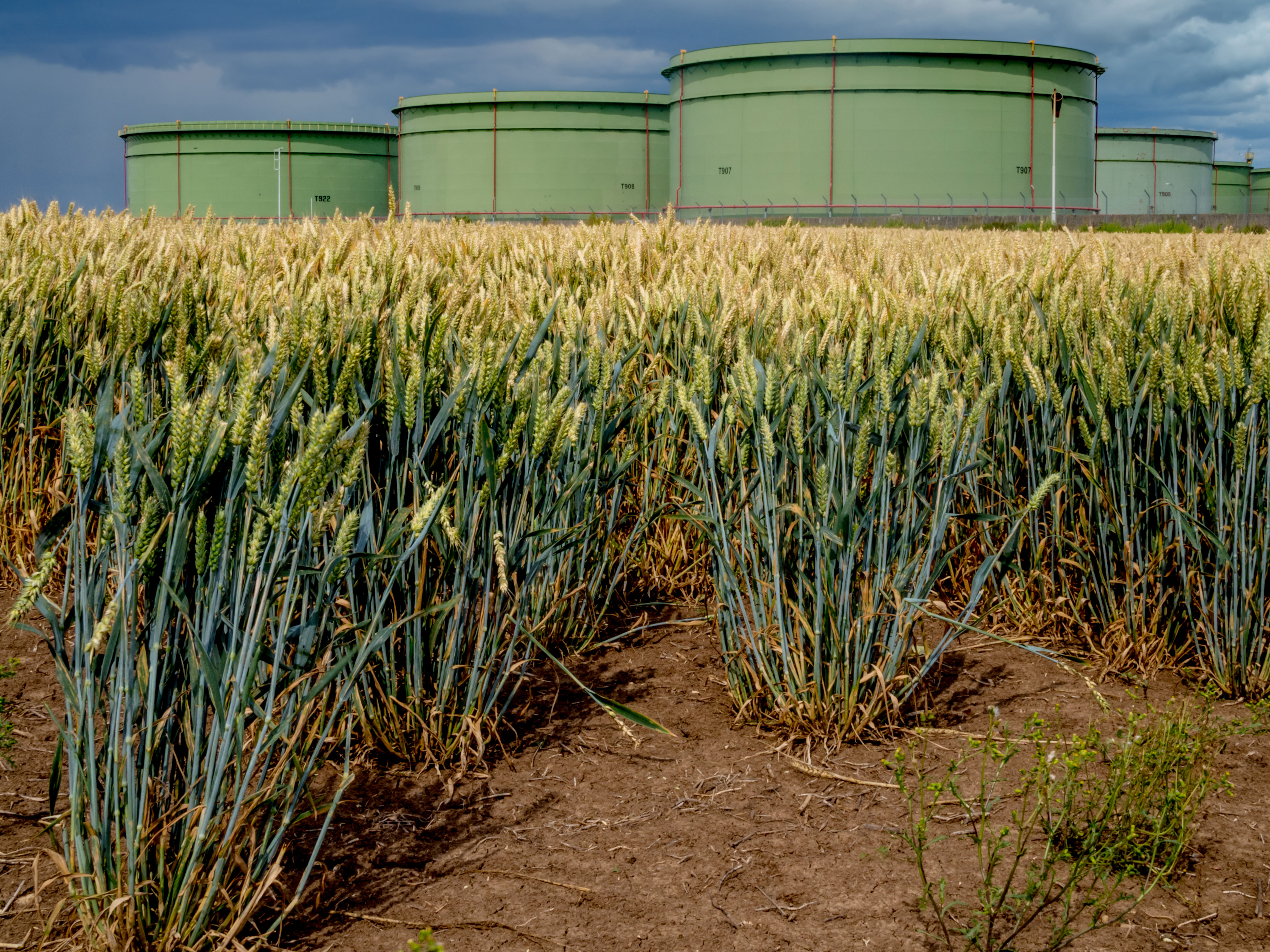
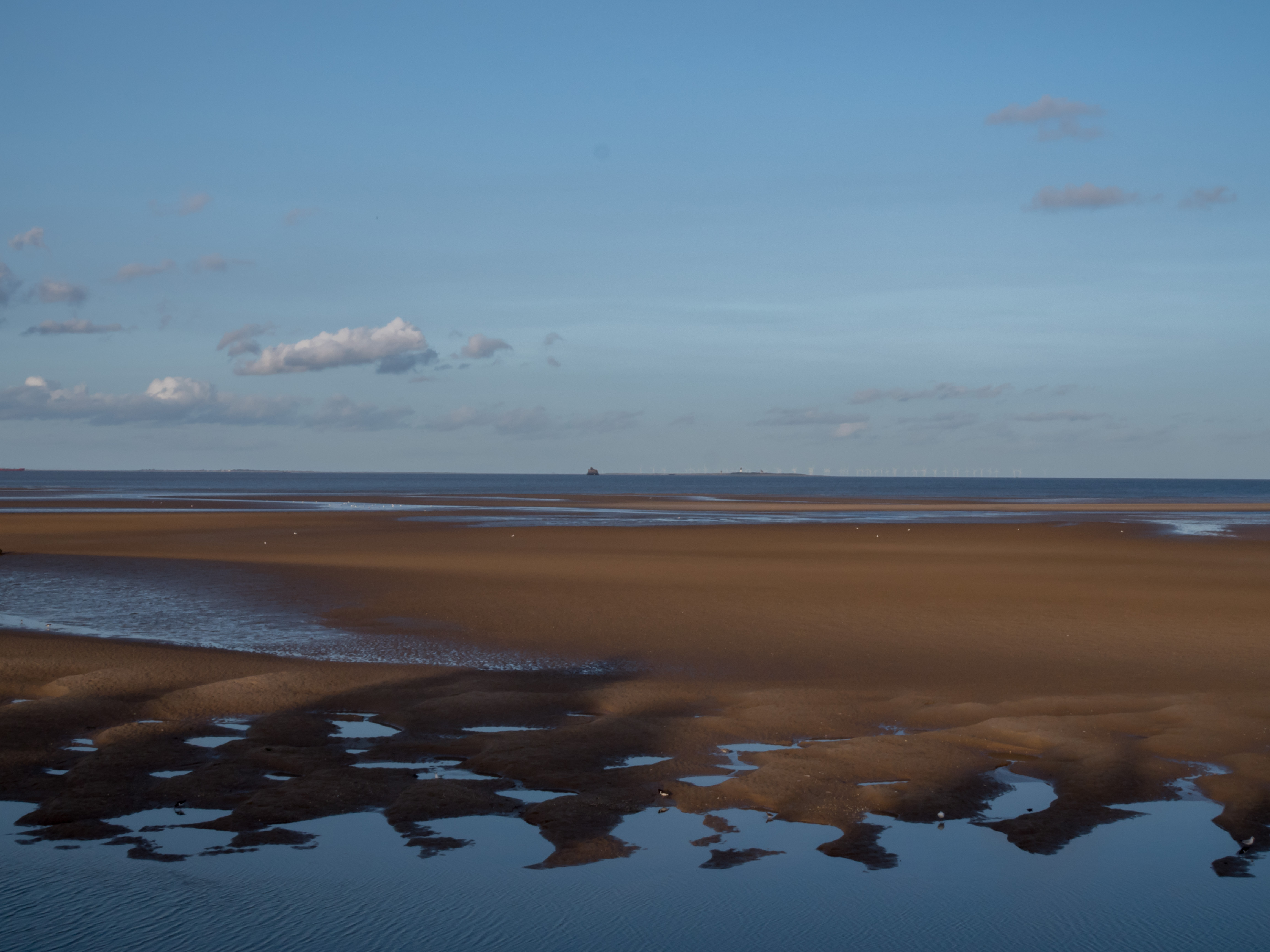
We arrived at the canalised River Lud, now Louth Canal as it joins with Waithe Beck and heads to Tetney Haven and the Humber. Caught in the rain we sheltered under the pipeline leading into or out of the Humber from the oil terminal west of Tetney Lock disturbing a little egret in the drain. Egrets flew around us as we walked by the Fitties at Humberston and looking north east towards Bull Sand Fort and the lighthouse at Spurn in the distance. Looking south east towards Buck Beck from Cleethorpes we then look north across the fairground to Saltend and the Holderness coast. From the Moon on the Water we continue north west and onto the Freshney at dusk.
Photographs by Richard Duffy-Howard


Gallery key:
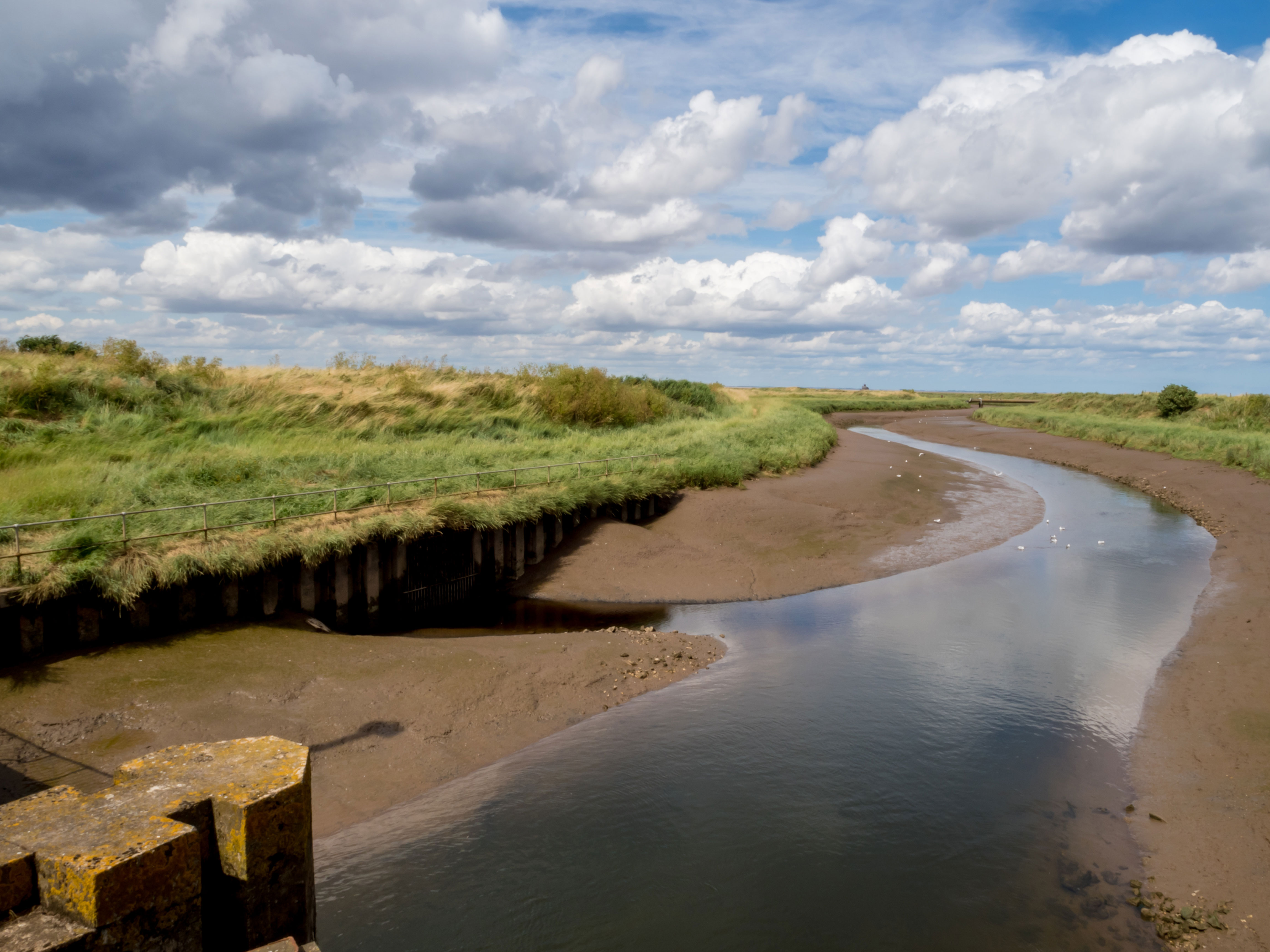
- Confluence of the Louth Canal and Waithe Beck below Tetney Lock
- The old lock now sluice as the Louth Canal meets the Humber at Tetney Haven
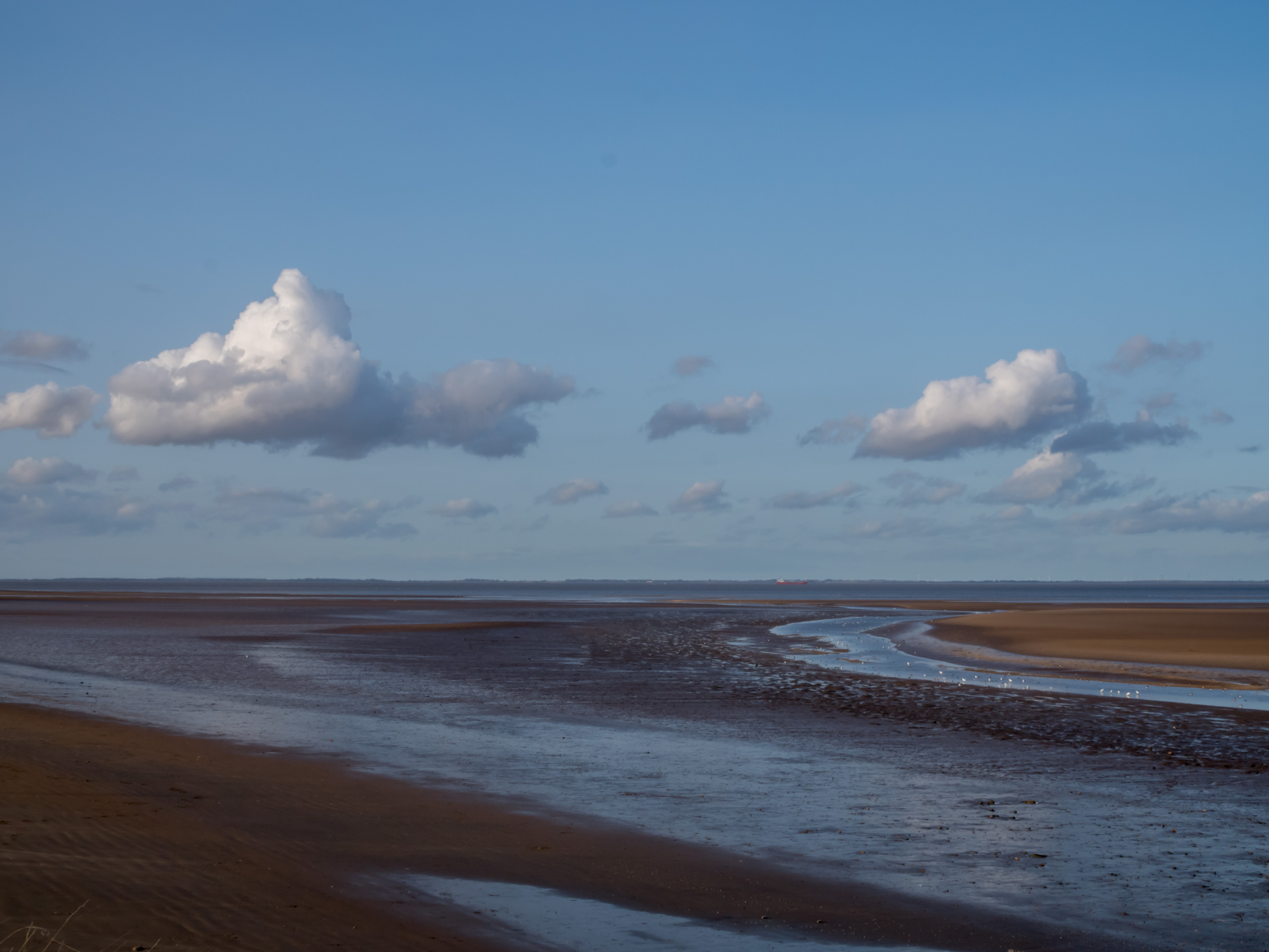
- The Louth Canal meanders through the saltmarsh and meets the Humber at Tetney Haven
- Oil terminal pipeline and Lou in the rain west of Tetney Haven
- Oil Terminal, Tetney
- Humberston, looking north east to Bull Sands Fort and the lighthouse on Spurn Point
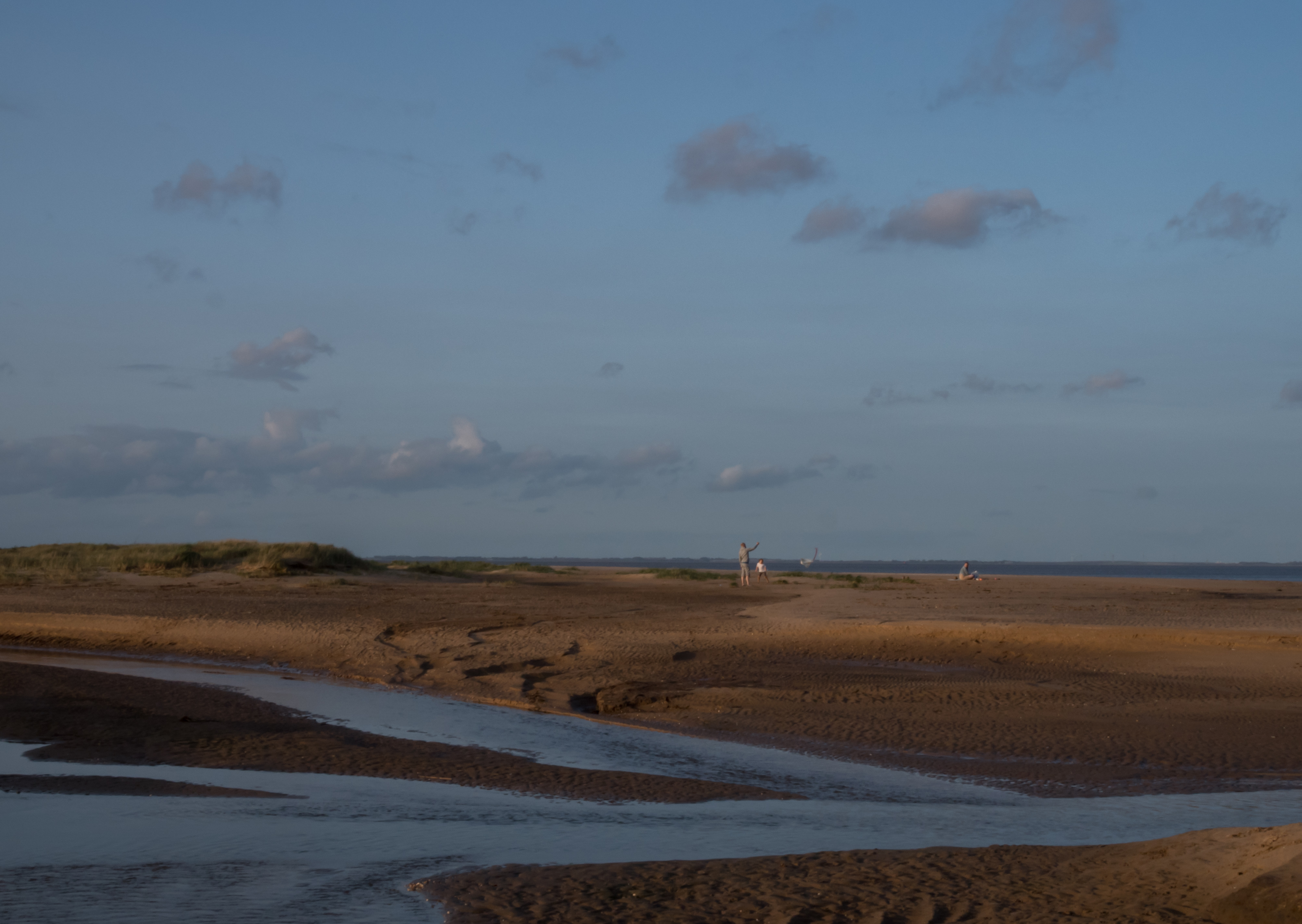
- Buck Beck, Humberston
- Flying kites, Buck Beck, Humberston
- The River Lud/Louth Canal meanders through the sands of the Humberston Fitties
- Cleethorpes, looking south east to Buck Beck, Humberston Fitties and Tetney Haven
- Cleethorpes, looking north west to the Holderness coast and Stoney Creek
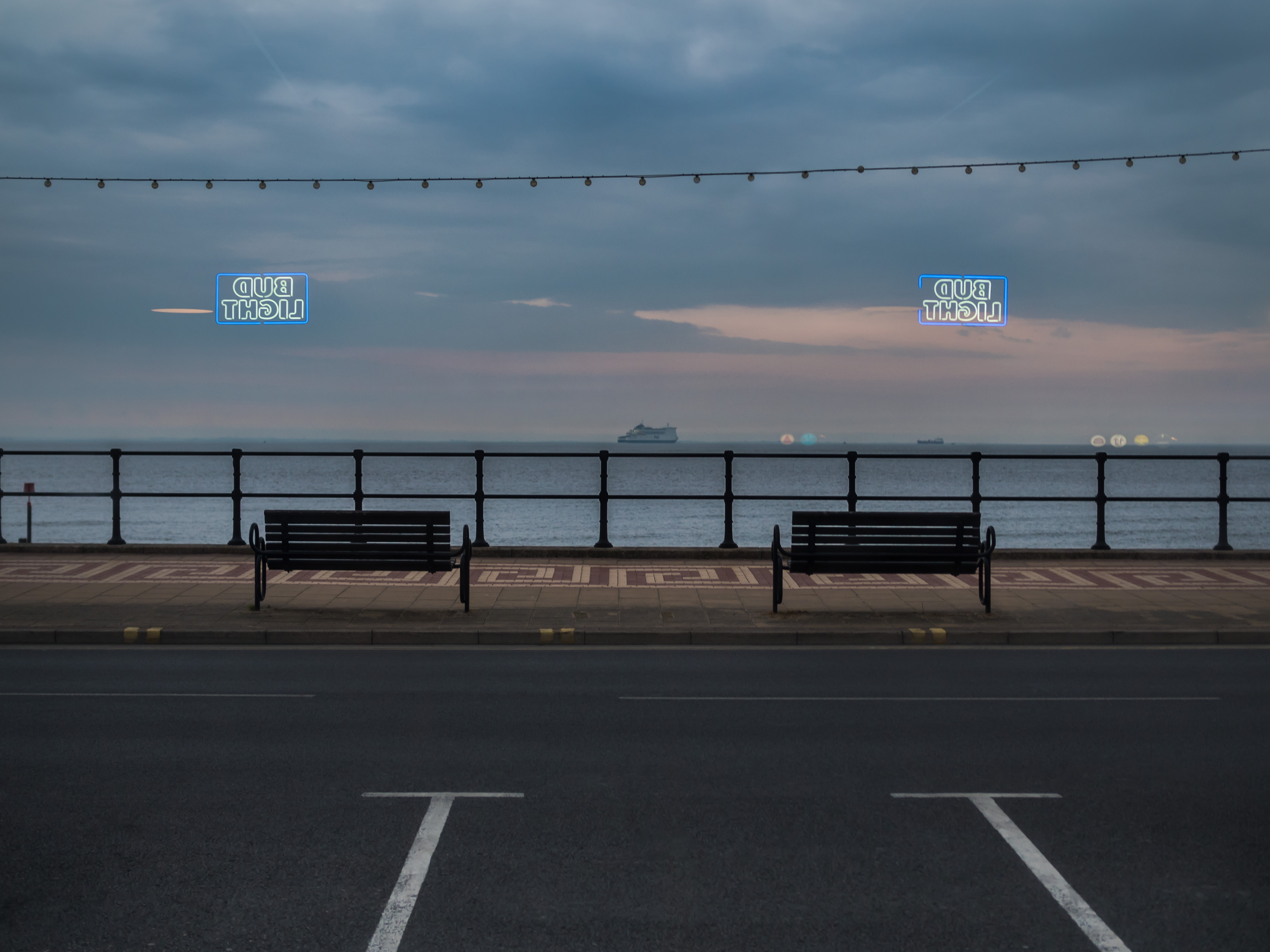
- The Humber from the Moon on the Water
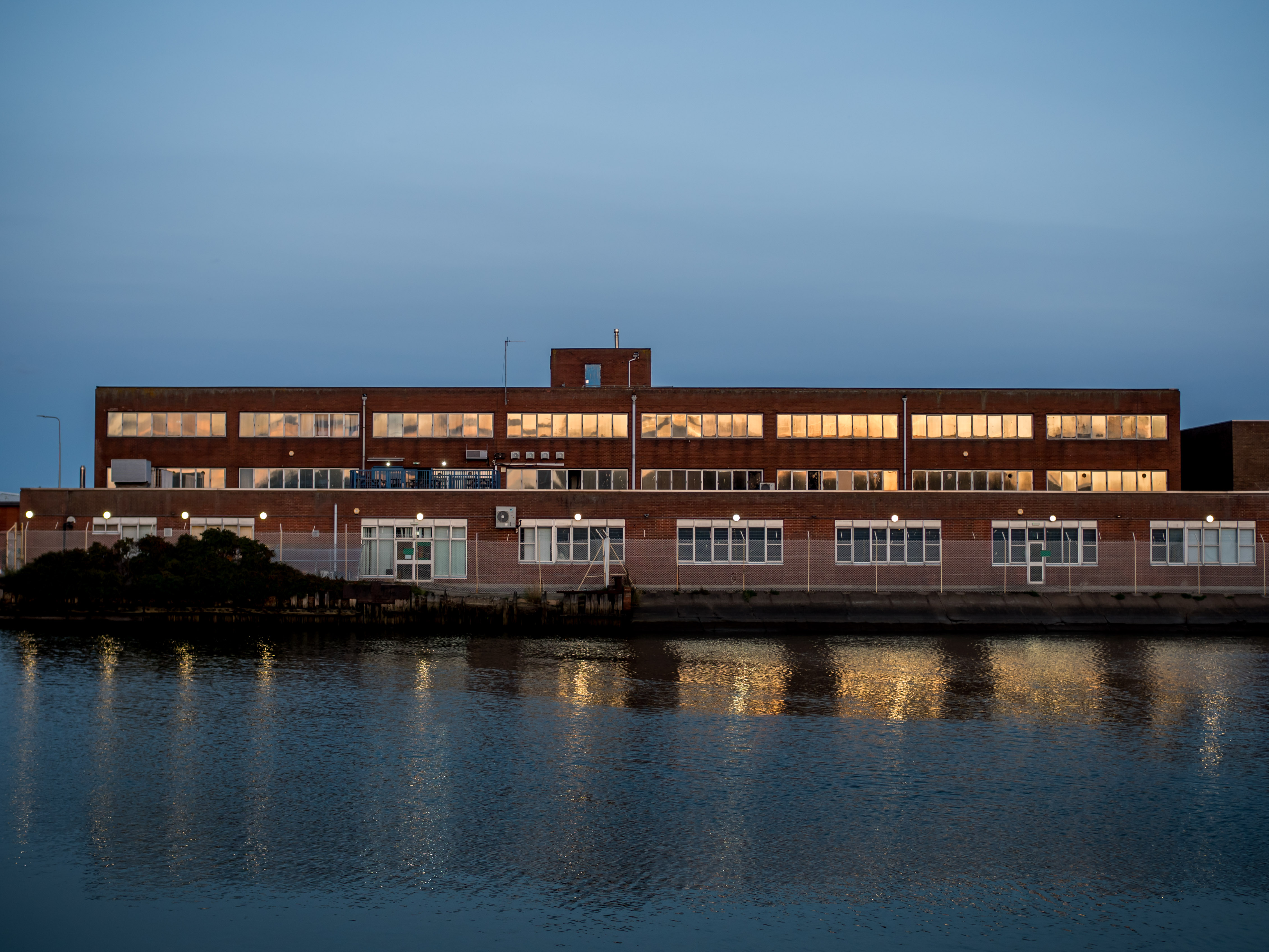
- Grimsby, the River Freshney at dusk and the trawler Ross Tiger
- Grimsby, the River Freshney at dusk
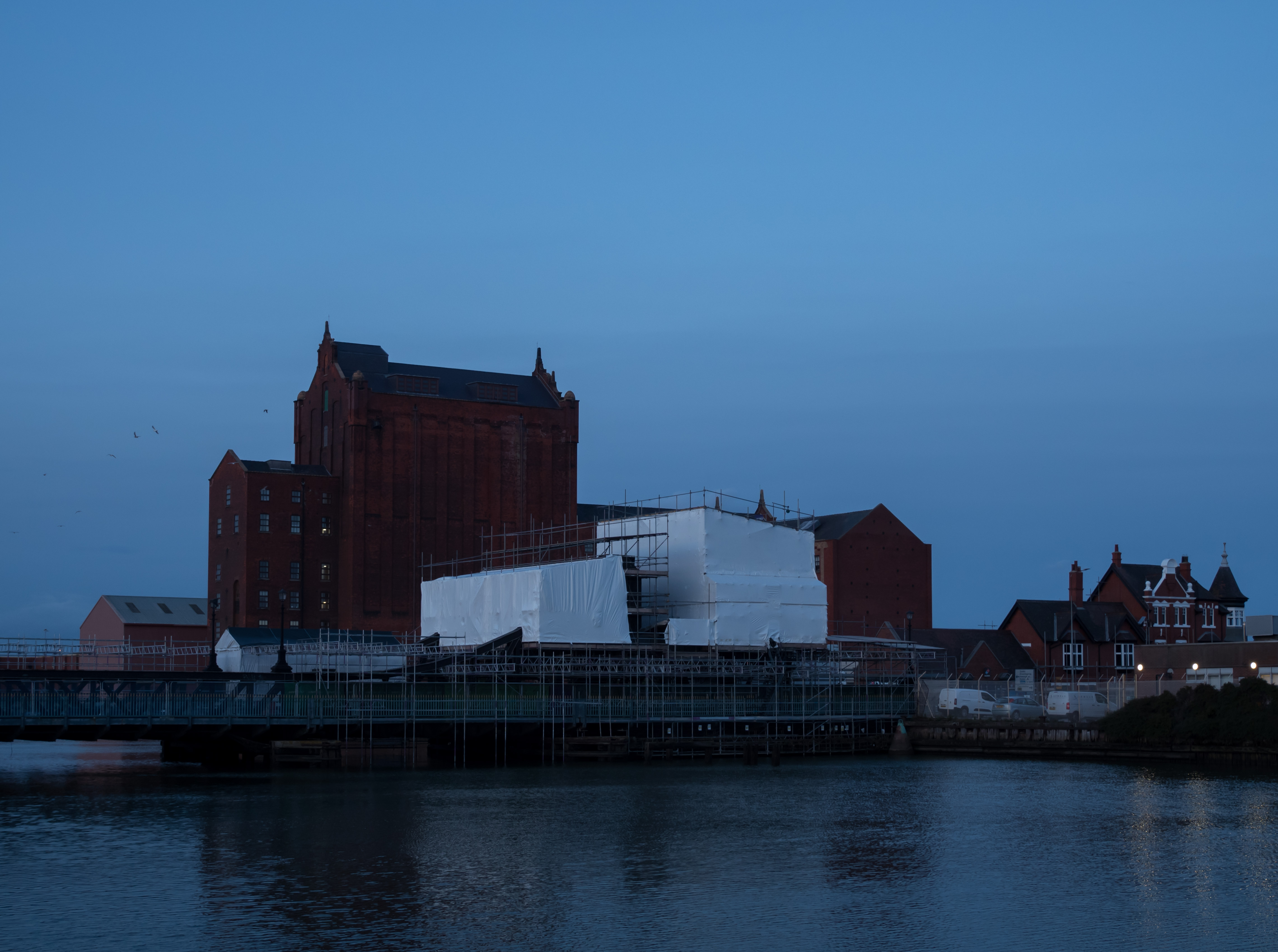
- Grimsby, the River Freshney at dusk and the renovation of Corporation Bridge
Rich and Lou Duffy-Howard