The Market Weighton Canal, River Foulness and Crabley Creek
At the beginning – or end – of the Humber sits Whitton Sand, hiding a channel to Weighton Lock and the Market Weighton Canal. To the north the River Foulness joins the Market Weighton Canal on the map somewhere between North America and The Land of Nod.
Up the Foulness lies Hasholme and the site of the discovery in 1984 of the Hasholme log boat, an Iron-Age dug-out log boat that navigated and fished the Humber, it’s estuaries and marshes over 2300 years ago.
This chapter also contains the photographs that started the project – the photographs taken on Lou’s birthday in 2013 on the Humber bank walk from Brough Haven to Crabley Creek.
The gallery starts with the confluence of the River Foulness and the Market Weighton Canal and heads south through Wallingfen and Seavy Carr and under the M62 past Newport to Weighton Lock and the Humber, before turning east to Crabley Creek.
Photographs by Richard Duffy-Howard


Gallery key:
- The River Foulness and the confluence with the Market Weighton Canal and geese, October 2023
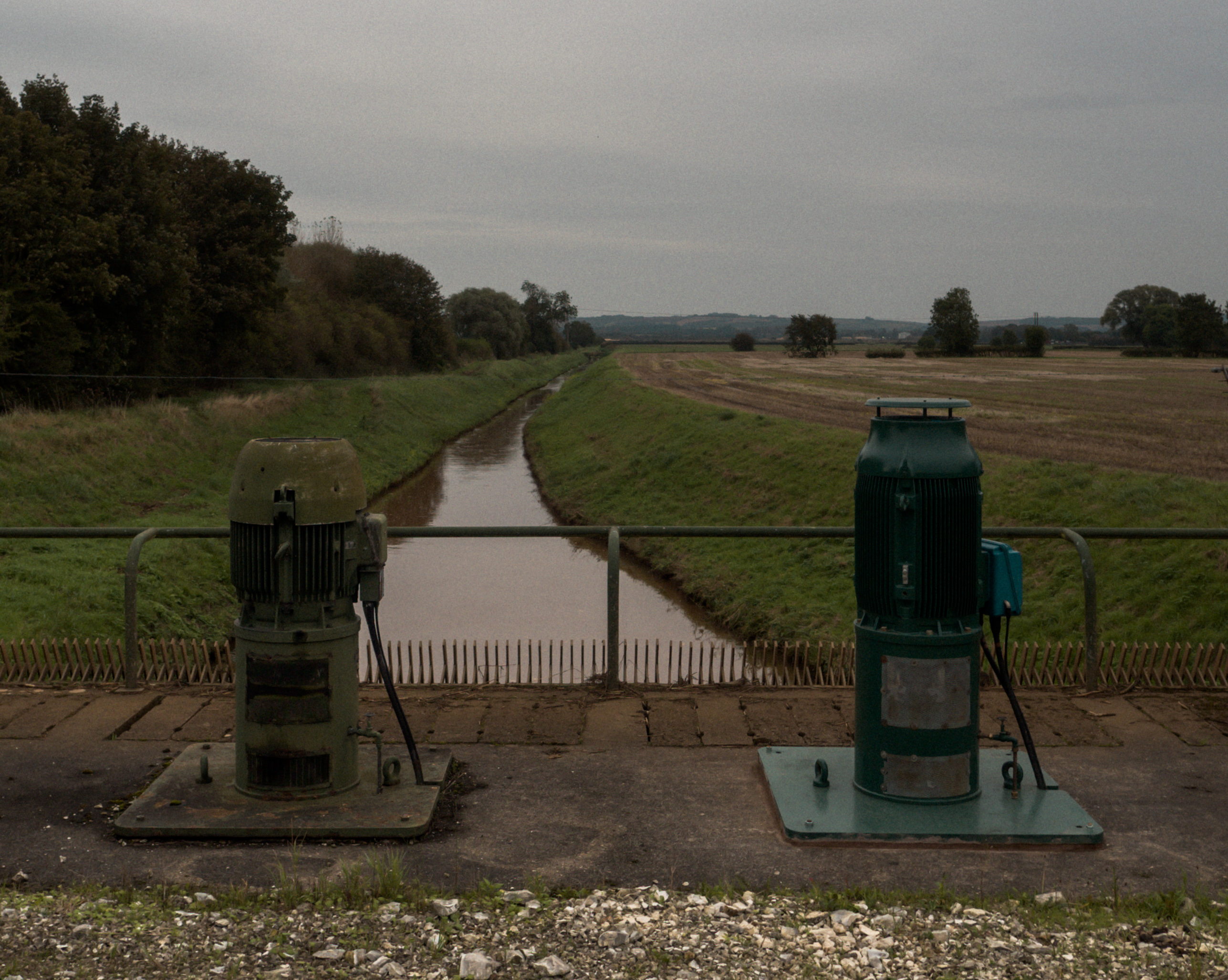
- Seavy Carr Pumping Station, drains Wallingfen and into the canal and onto the Humber
- Seavy Carr Pumping Station
- Seavy Carr Pumping Station
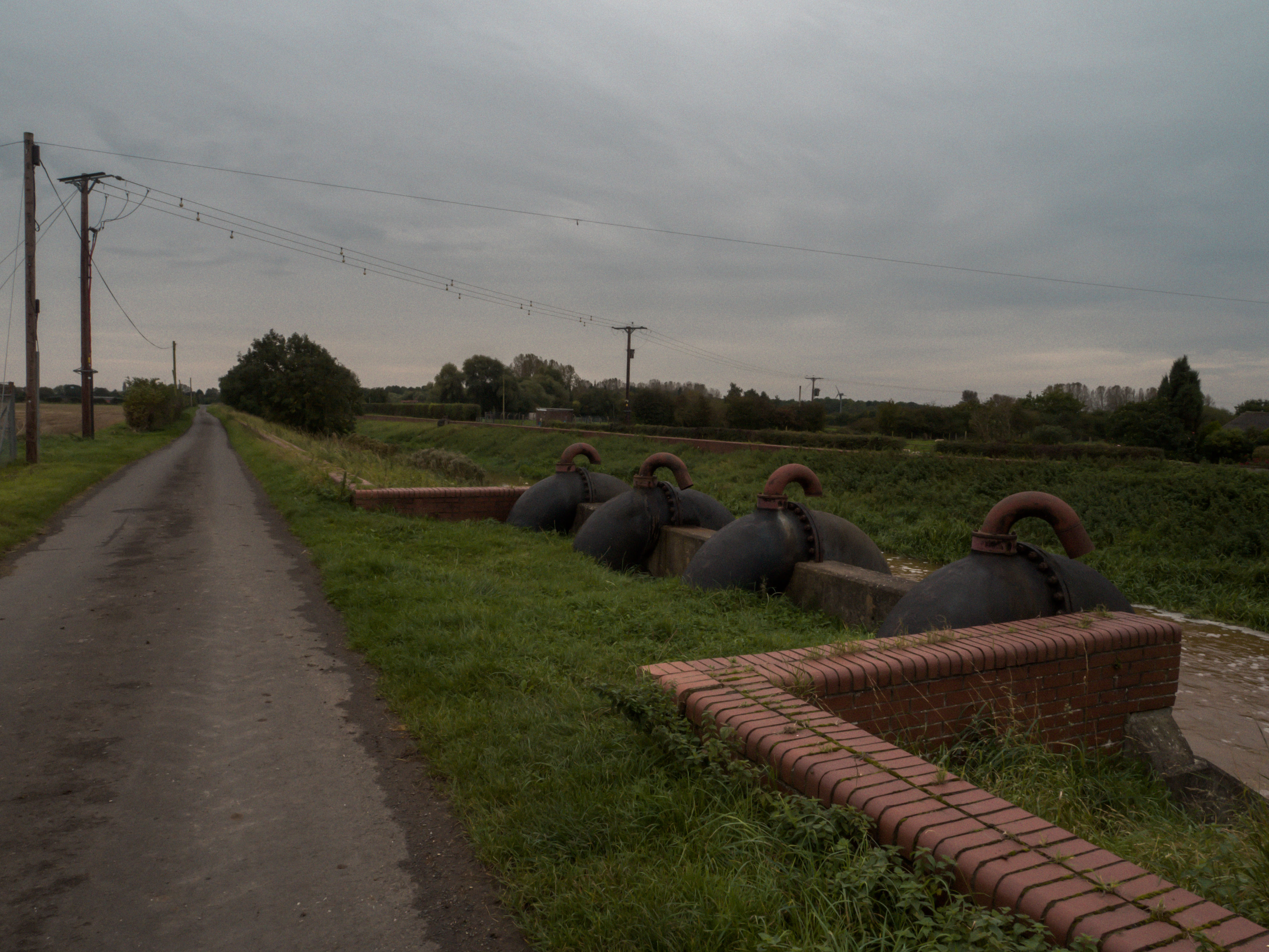
- The M62 passes over the Market Weighton Canal
- The Market Weighton Canal arrives at Weighton Lock
- Weighton Lock Pit
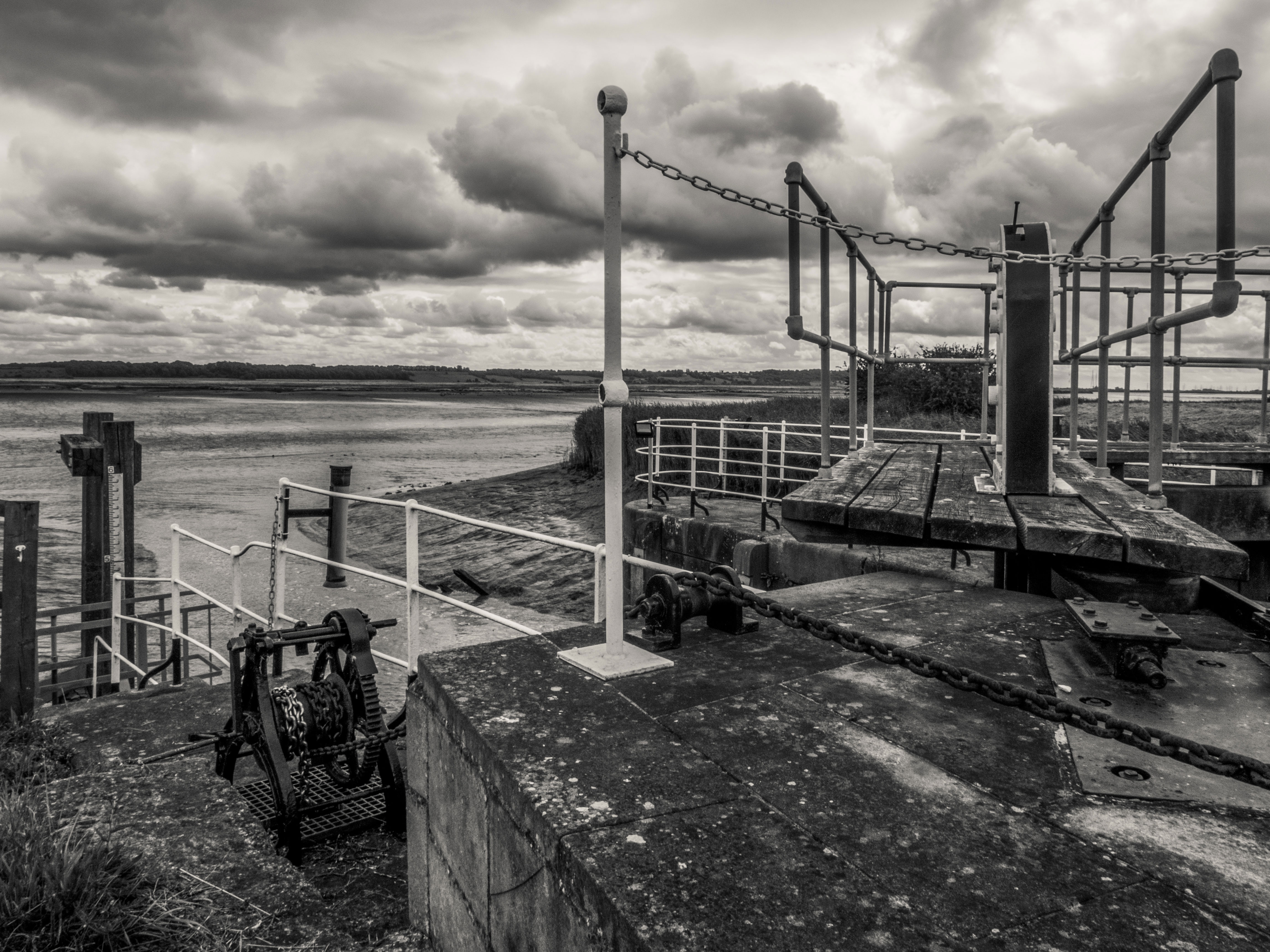
- Weighton Lock
- Weighton Lock, the Humber and Whitton Sand
- The Market Weighton Canal makes the Humber with Whitton Sand to the south and Whitton seen in the far distance across the Humber on the horizon to the right
- Crossing the line to Crabley Creek with the Humber Bridge appearing to bridge the railway on the horizon
- Crabley Creek, 2023
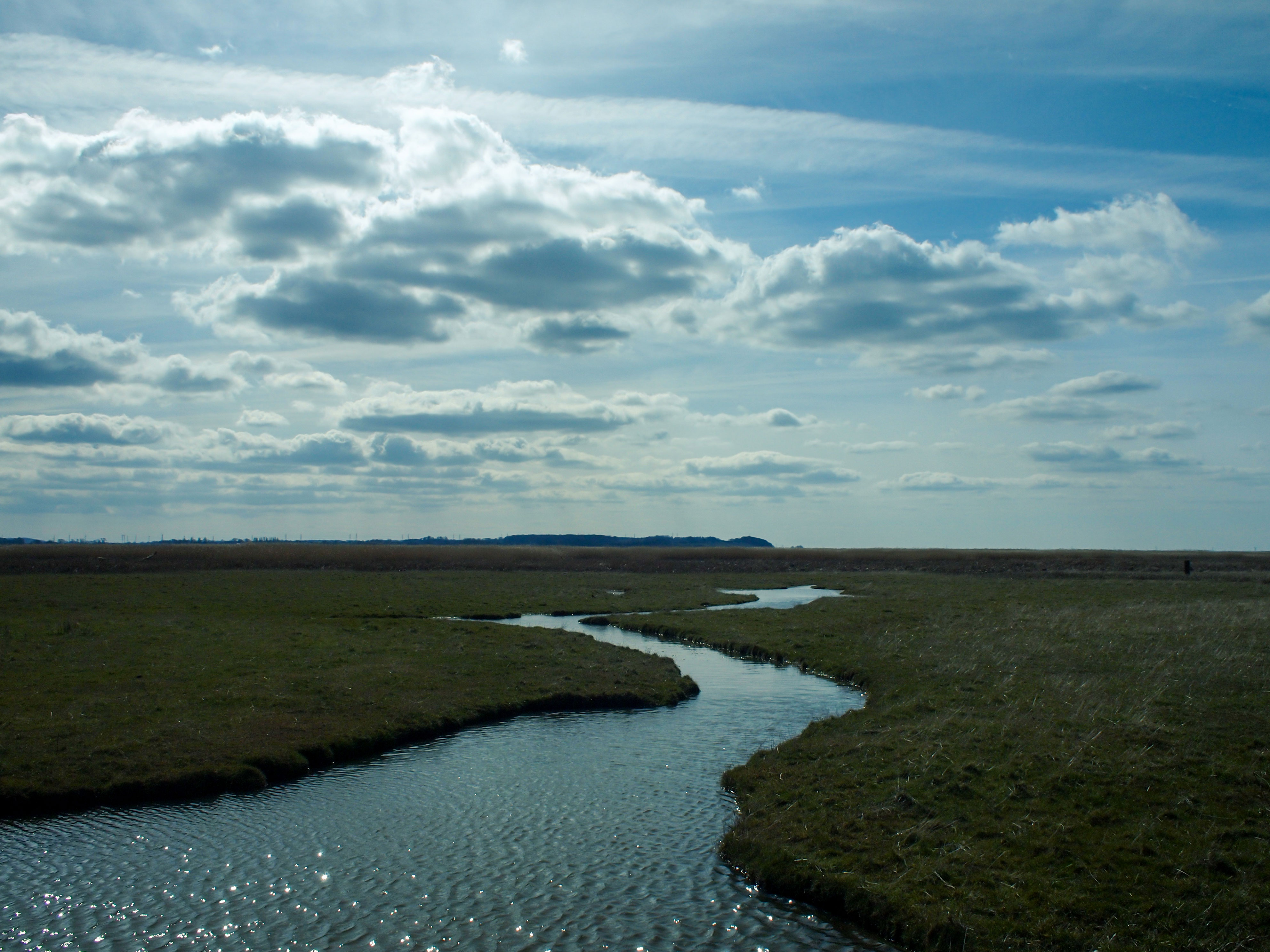
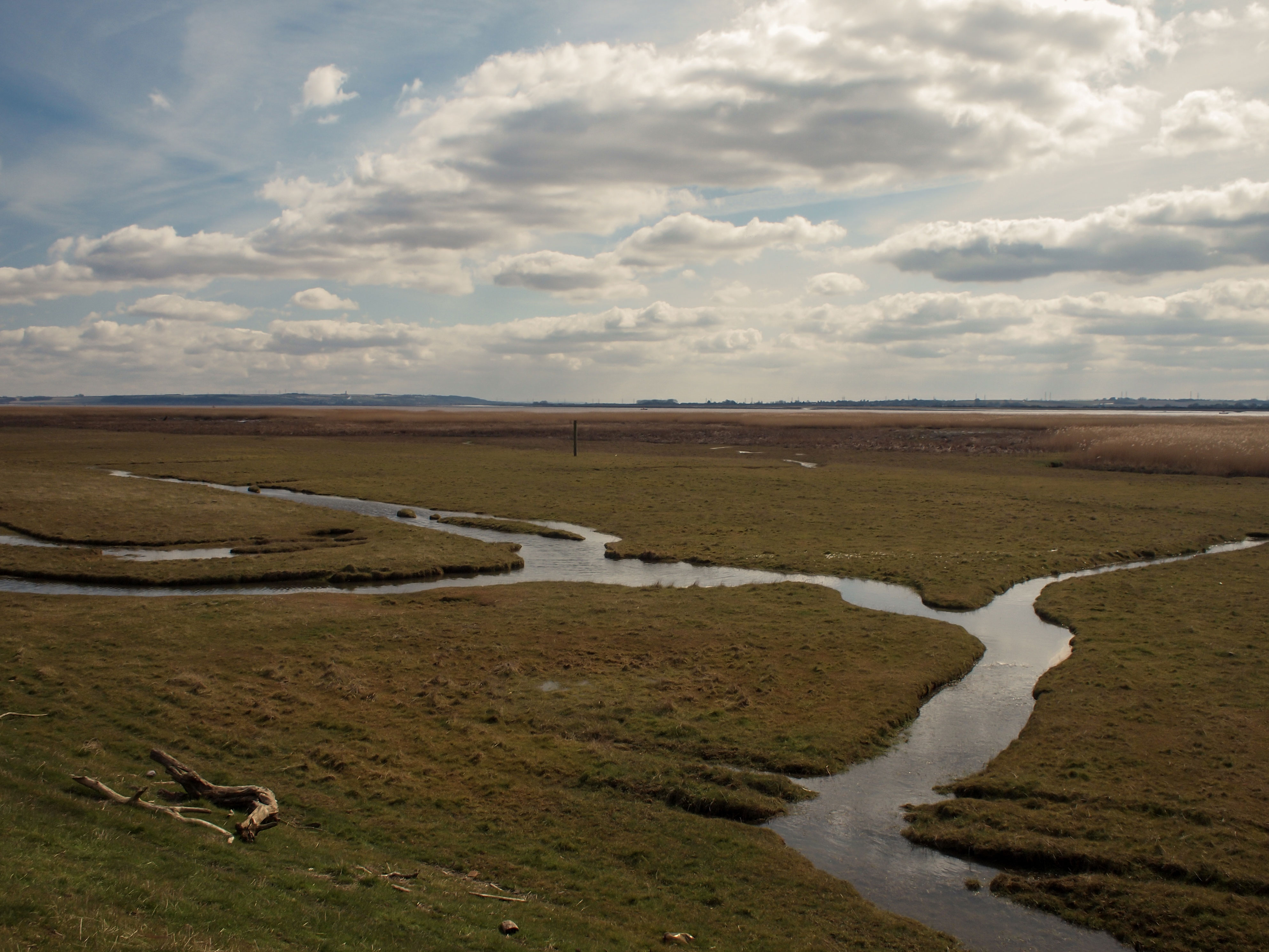
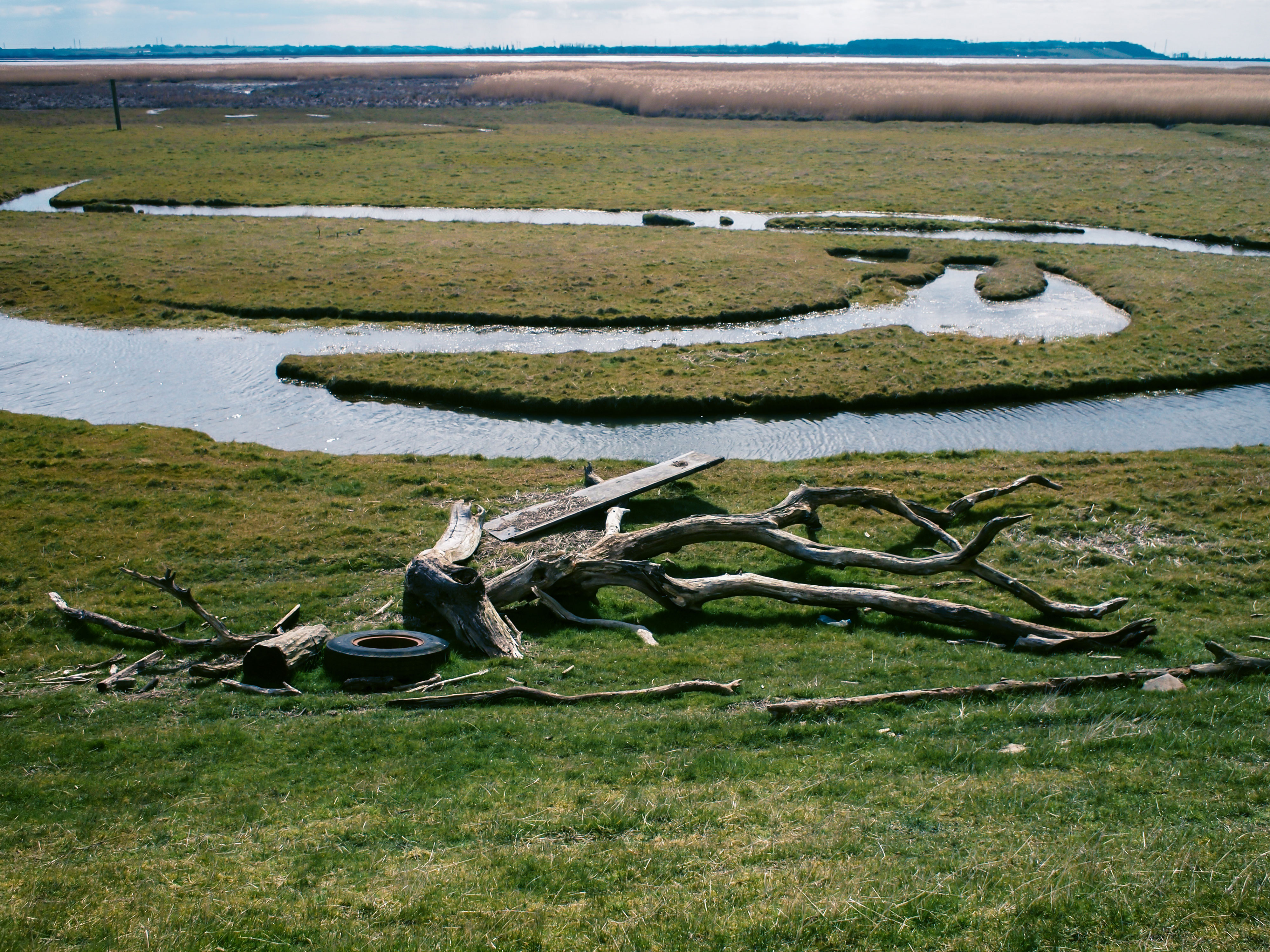
- From Brough Haven to Crabley Creek in 2013
- From Brough Haven to Crabley Creek in 2013 looking south across the Humber to Whitton
- From Brough Haven to Crabley Creek in 2013 looking south-est across the Humber to the Nev Cole Way and South Ferriby and the New River Ancholme
- From Brough Haven to Crabley Creek in 2013 looking south across the Humber to Whitton
- From Brough Haven to Crabley Creek in 2013 looking south across the Humber to the Nev Cole Way and Whitton
Rich and Lou Duffy-Howard