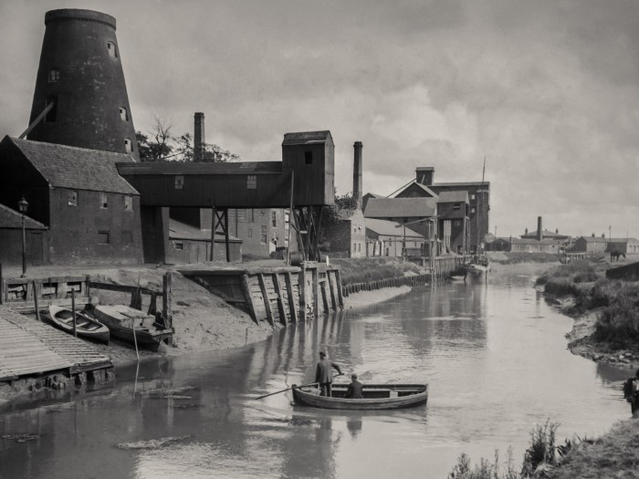
A Commute from West to East
Researching the Open Bridges project over the last few years we’ve come across a quite a few old glass plate negatives of the River Hull, and city either side of the river, which have needed some painstaking restoration work to get them to the point of being good enough to publish.
Looking at the photographs in such detail is like time travelling, most of these were taken in the 1930s, and on my way into work each day I pass by some of the places where the photographer stood and took these photographs all those years ago.
We live to the west of Hull and I work in the east, on Sutton Fields, over the river at Stoneferry. So this is a commute in pictures going to work in the 1930s (or thereabouts). Bricknell Avenue was built in the 1930s and the first two images show the building of the avenue itself, taken on the 14th November 1935, of the west end of the avenue to link with Cottingham Road. No West Bulls, no houses, only the start of one side of the road, looking east towards Chants.
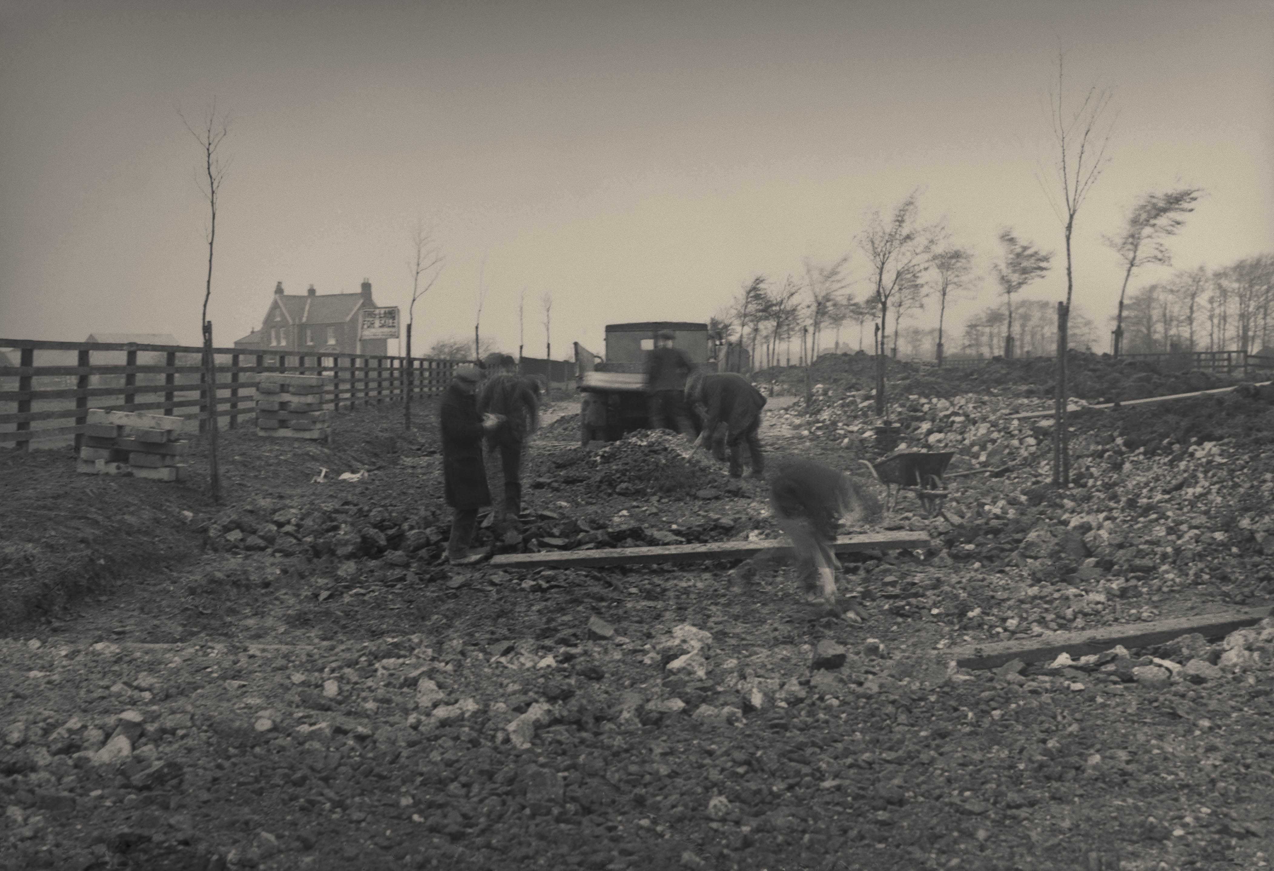
Building Bricknell Avenue 14th November 1935
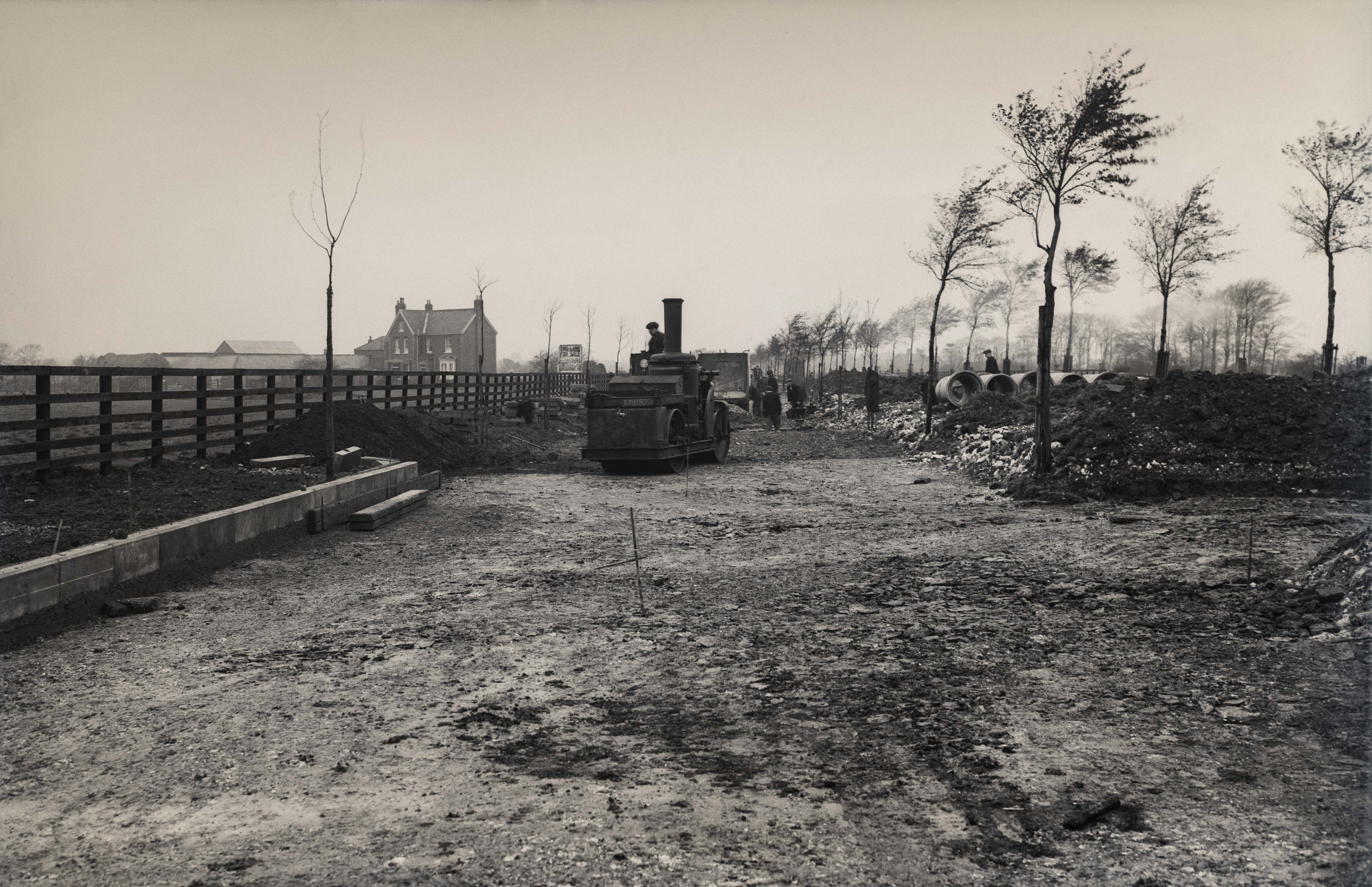
Building Bricknell Avenue 14th November 1935
Heading down Bricknell to the junction with Chanterlands Avenue there’s the brand new junction, with two new residents waiting at the bus top to head into town on the 2nd July 1937, on the brand new electric trolley bus network.
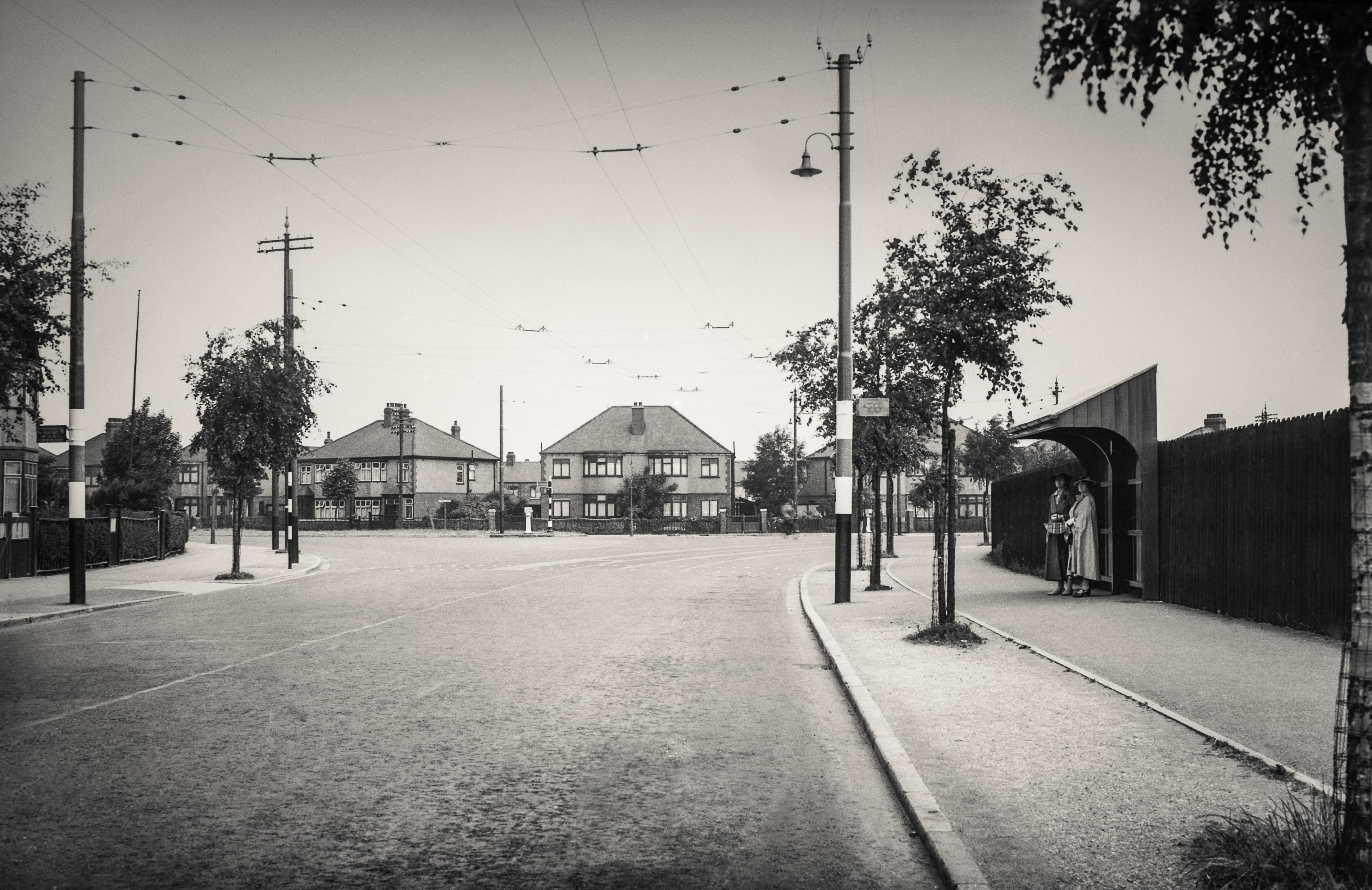
Chanterlands and Bricknell Avenue Junction on the 2nd July 1937
I cut through Goddard and Grafton and onto Beverley Road, where the junction with Cottingham Road and Clough Road is largely unchanged, apart from the overhead electricity for the buses, which date these photographs to around 1937. However, Clough Road is a different matter.
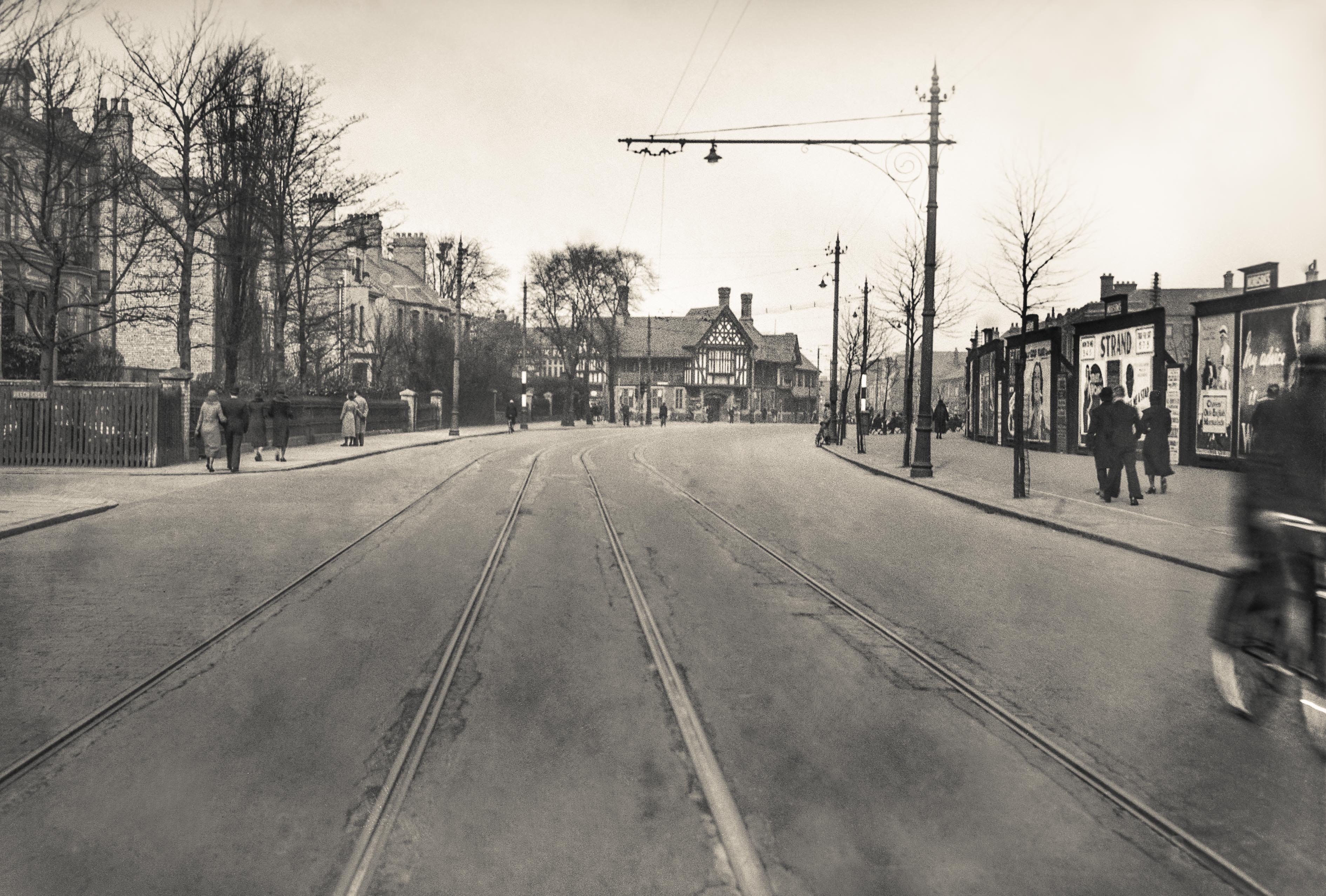
Approaching the Cottingham Road and Clough Road Juntion from Beverley Road
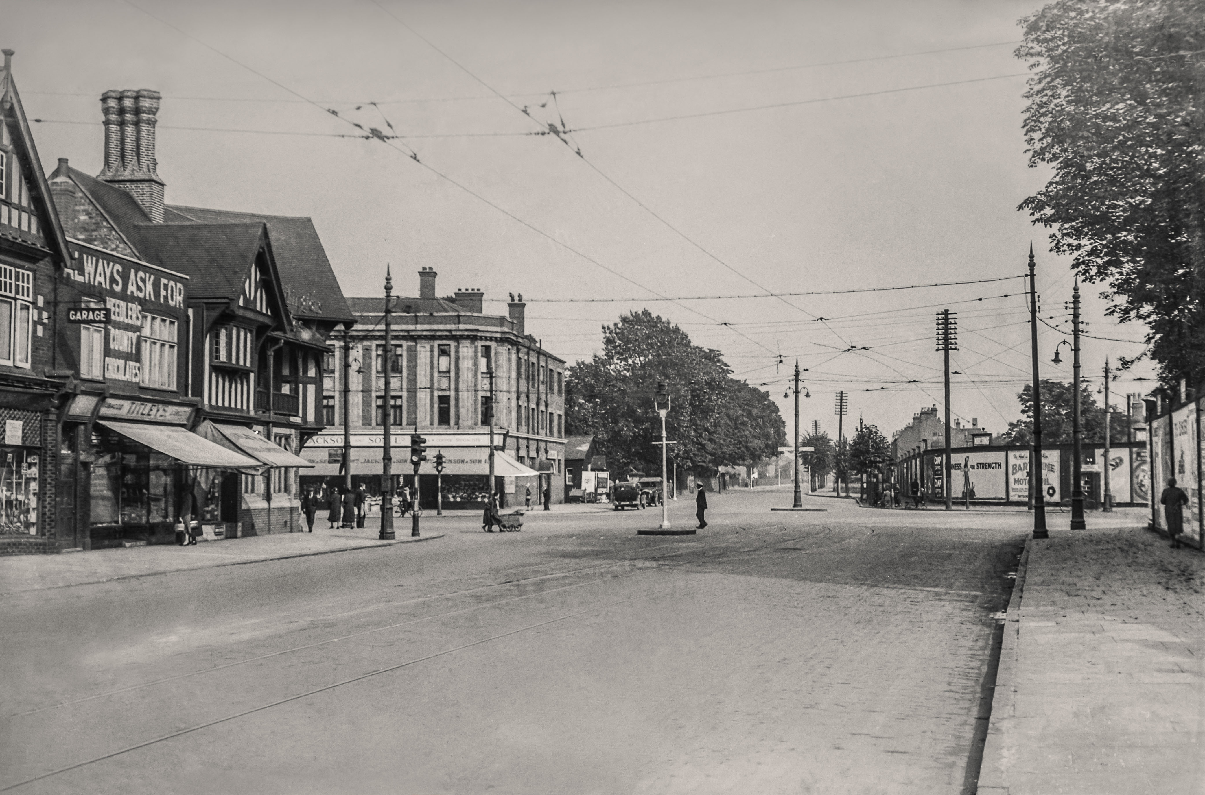
Always ask for Needler’s ‘County’ Chocolates
These three photographs on Clough Road were all taken on the 28th September 1932 by two photographers. The first photograph looks east towards the river and has Oak Road to the left and on the horizon the Gilyott and Scott building top left and Premier Oil to the right behind the pylon, both on the east bank of the River Hull as the road heads towards the bridge at Stoneferry. The brick wall to the left is the bridge over the Beverley and Skidby drain that used to run adjacent to Oak Road and required a viaduct over the Cottingham and Newland Beck that in this picture runs alongside Clough Road, west to east, on the right by the tree line all the way to meet with the River Hull at Stoneferry. The second photo shows Clough Road looking west from the junction with Oak Road, the poster fly-posted to the bridge wall is advertising the 1932 English Water Polo Final. The third photograph is taken by the second photographer and is looking south from the track adjacent to the Beverley and Barmston drain over Clough Road with the Sculcoates Power Station top right, but more interestingly on the left, is the photographer who took the other two shots.
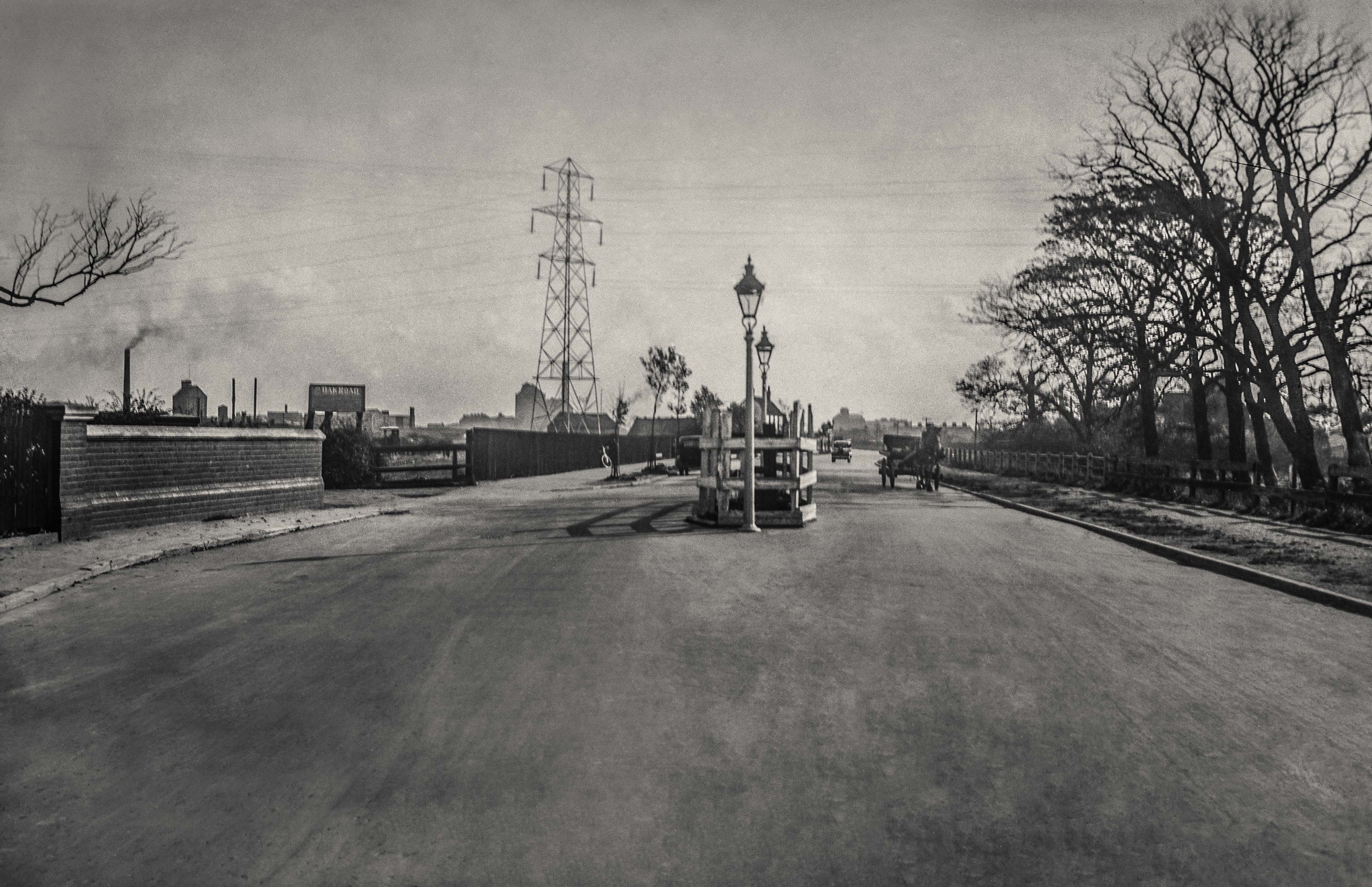
Looking east towards Stoneferry on the 28th September 1932
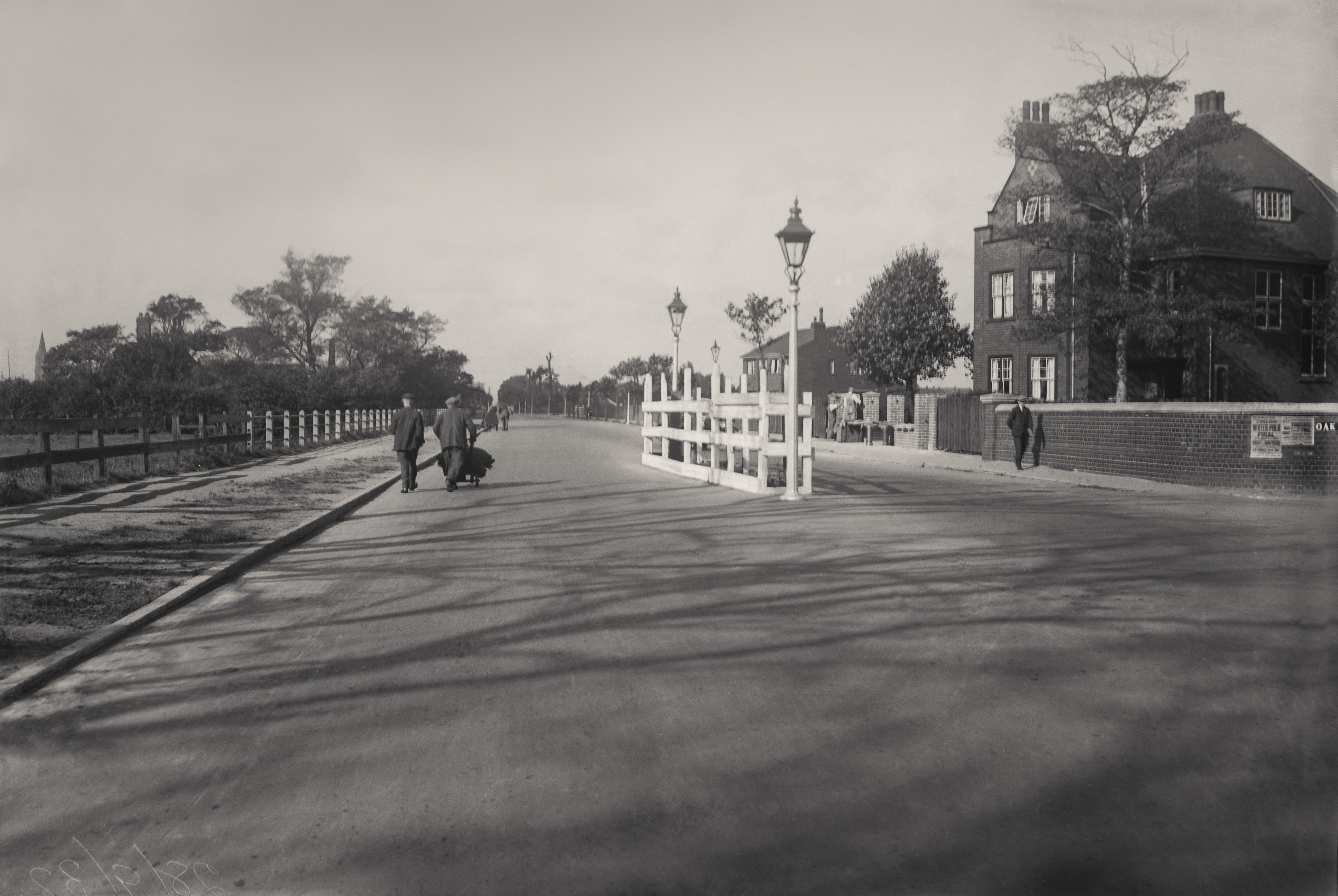
Heading west to the Haworth on the 28th September 1932
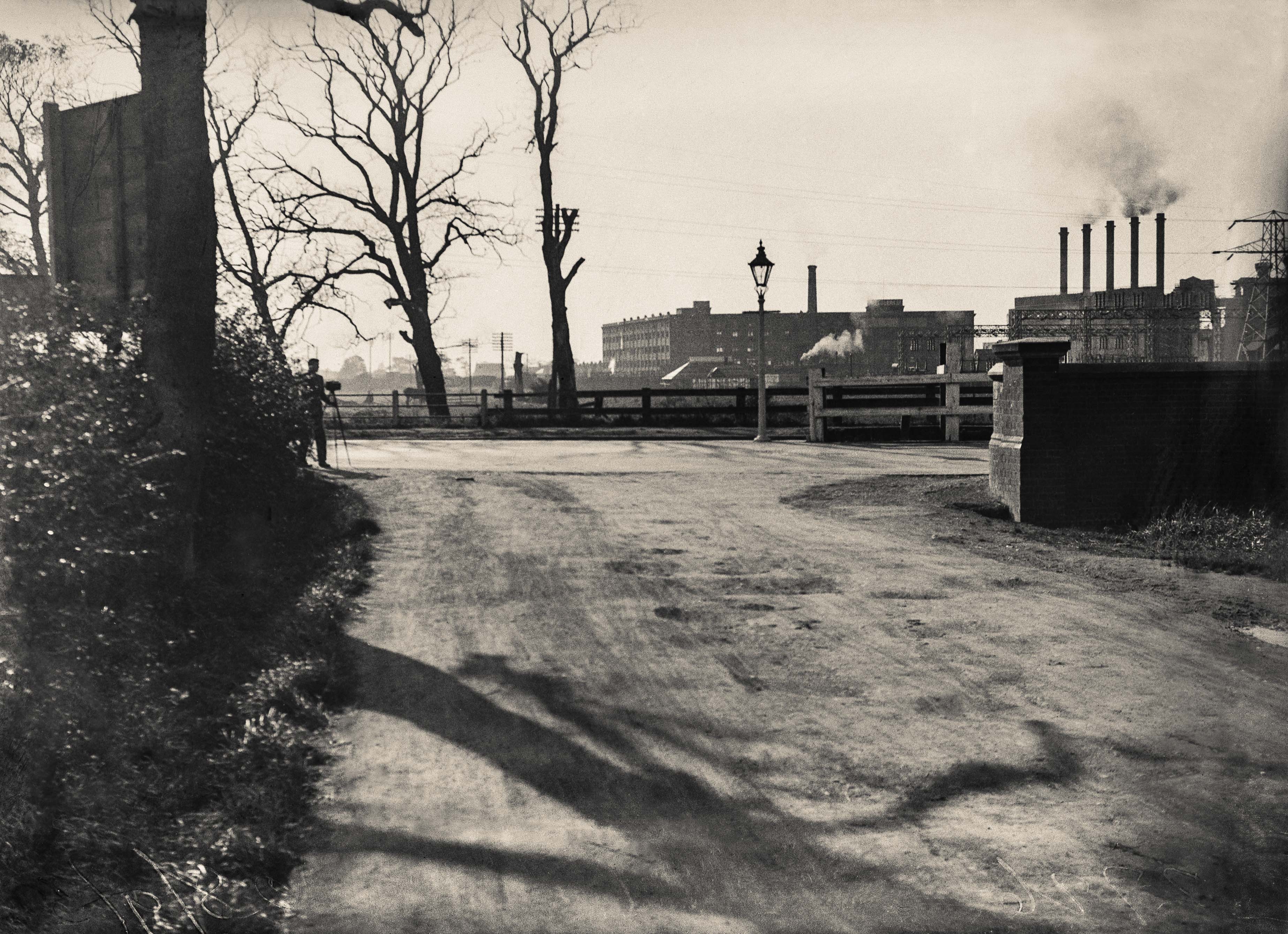
The photographer, Clough Road and the Sculcoates Power Station, 28th September 1932
From Clough Road I take the Stoneferry Bridge over the river. Looking left and north is the Premier Oil Mill to the right with Gilyott and Scott just upstream. This negative is unrestored but with the amount of noise and scratches, has a quality and presence all of its own. The view to the right and south shows the old ferry and mill in a particularly beautiful and bucolic scene possibly taken around 1905.
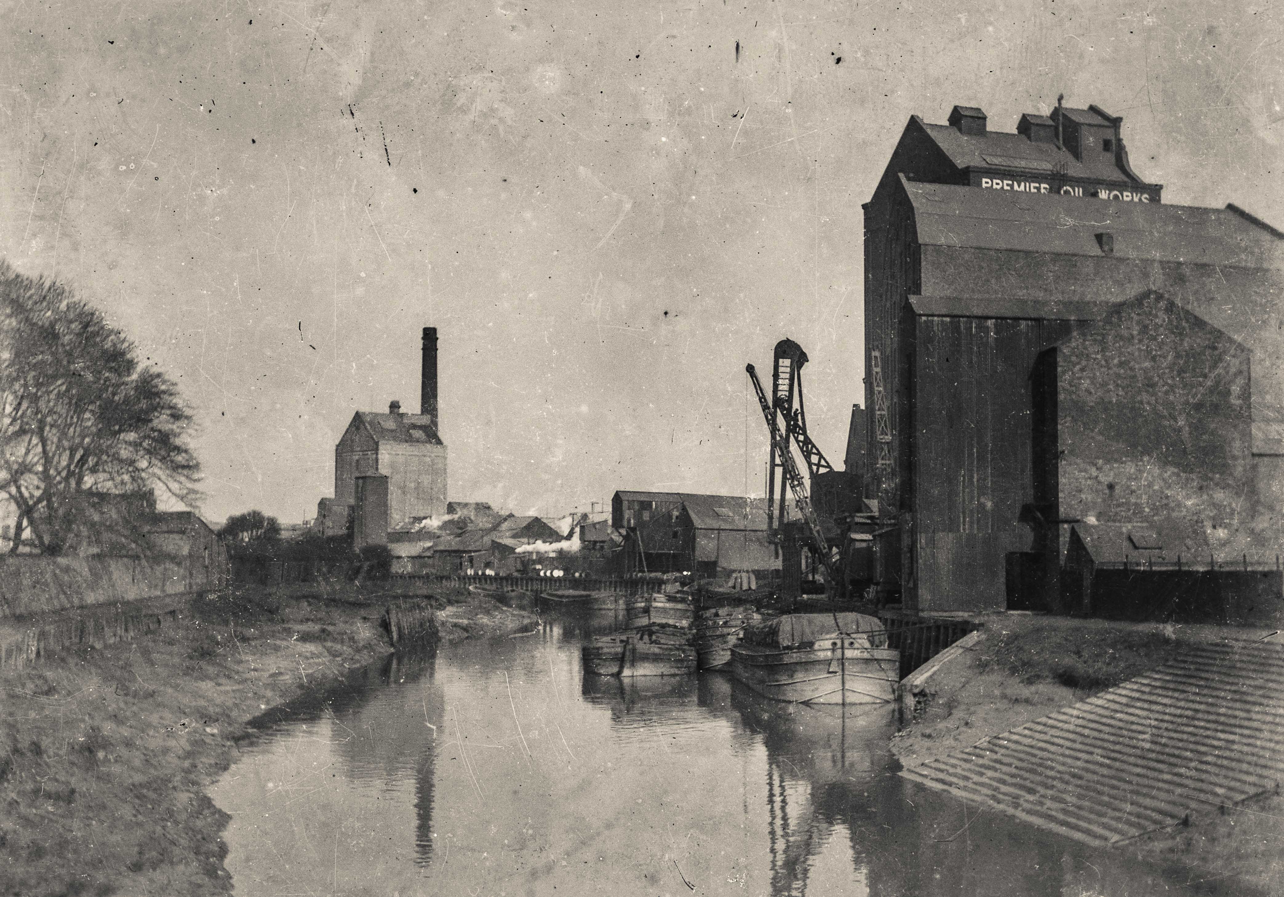
From Stoneferry Bridge looking north c1905

The ferry to the Grapes Public House and mills before the first bridge was built in 1905
Over the bridge and into the east and I’m on Ferry Lane where it’s 1933 and Premier Oil is building a new warehouse next to the Grapes Hotel, a ‘Bass Only’ Public House. A glance through the framework shows the brickies hard at work on the on the 8th February.
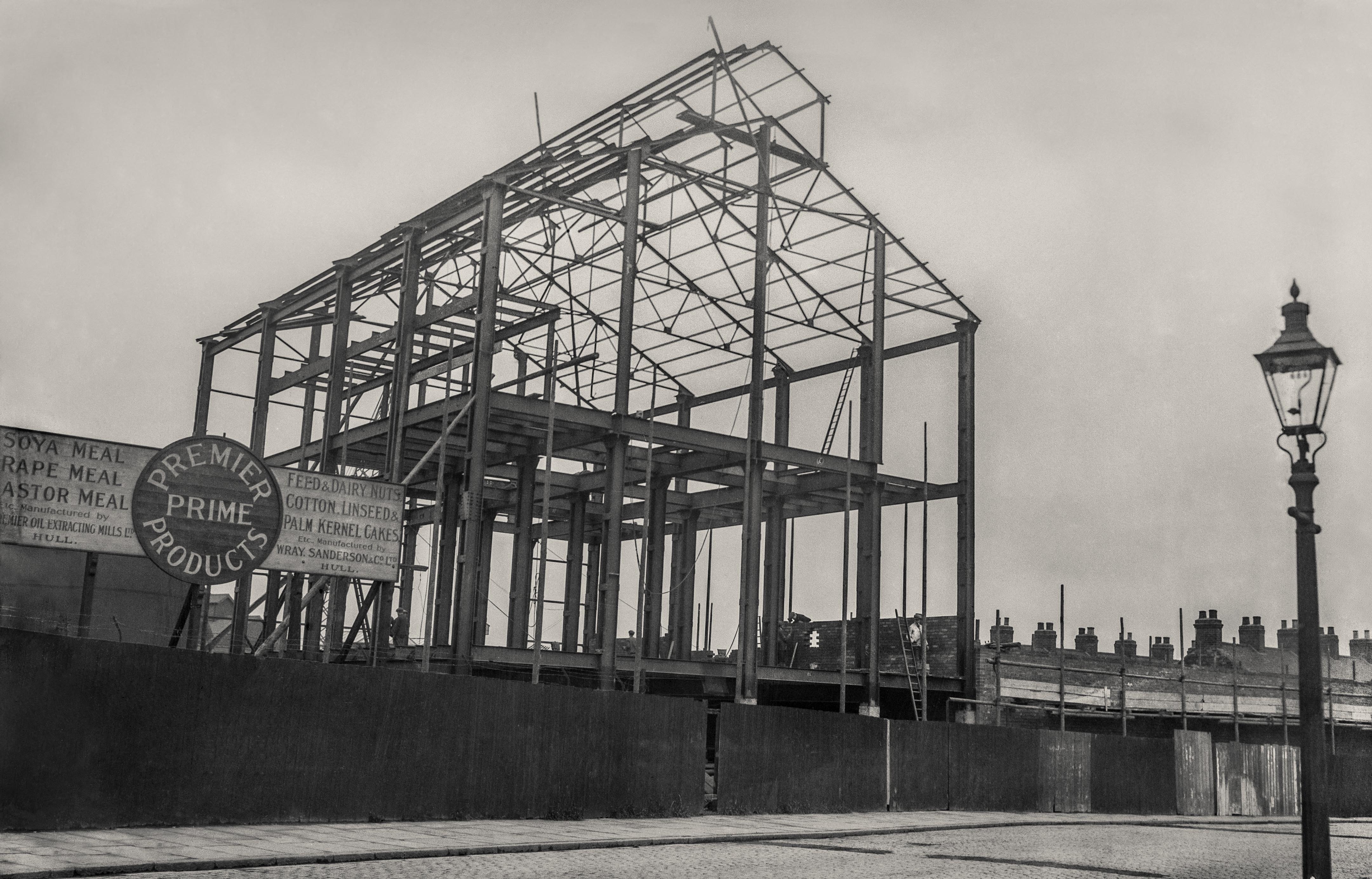
Premier Oil construction, Ferry Lane, 8th February 1933
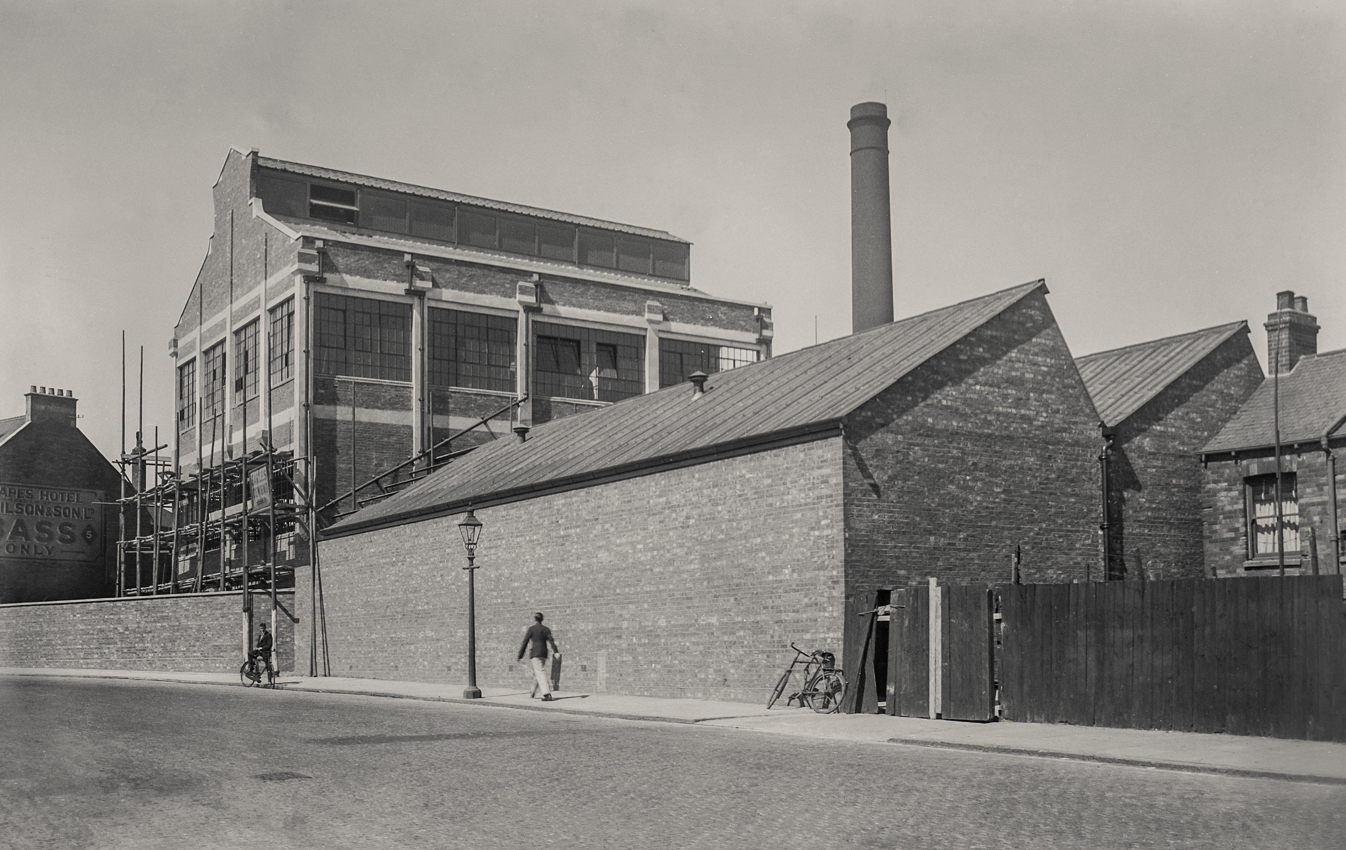
Six months later and the building is nearing completion on 8th August
I turn left onto West Carr Lane and arrive at work in a field on West Croft when more often than not I’m met with a friendly welcome from the Gullies Manager.
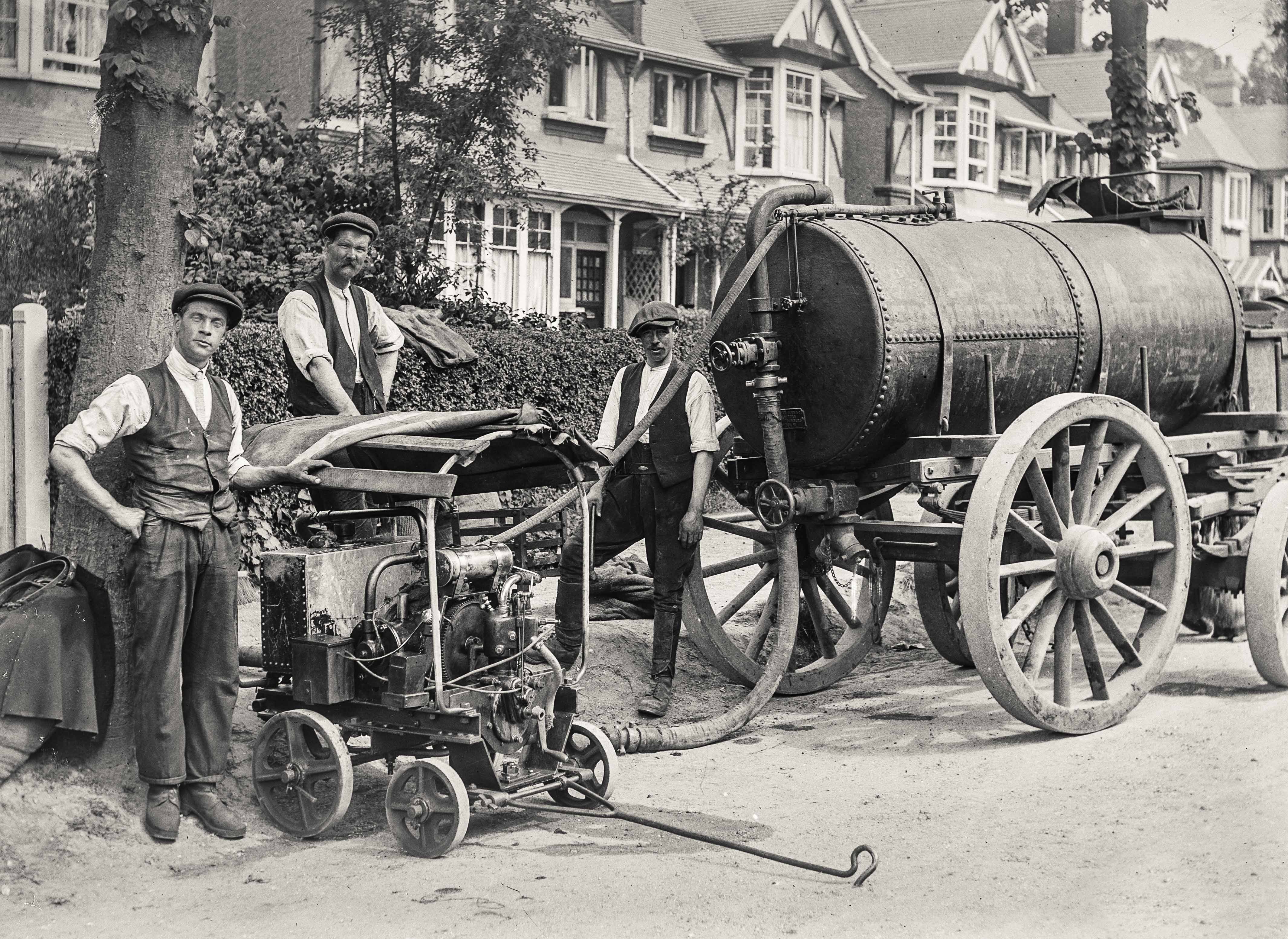
Mark, Ian, and Tony: Vacuum Pump and Tank
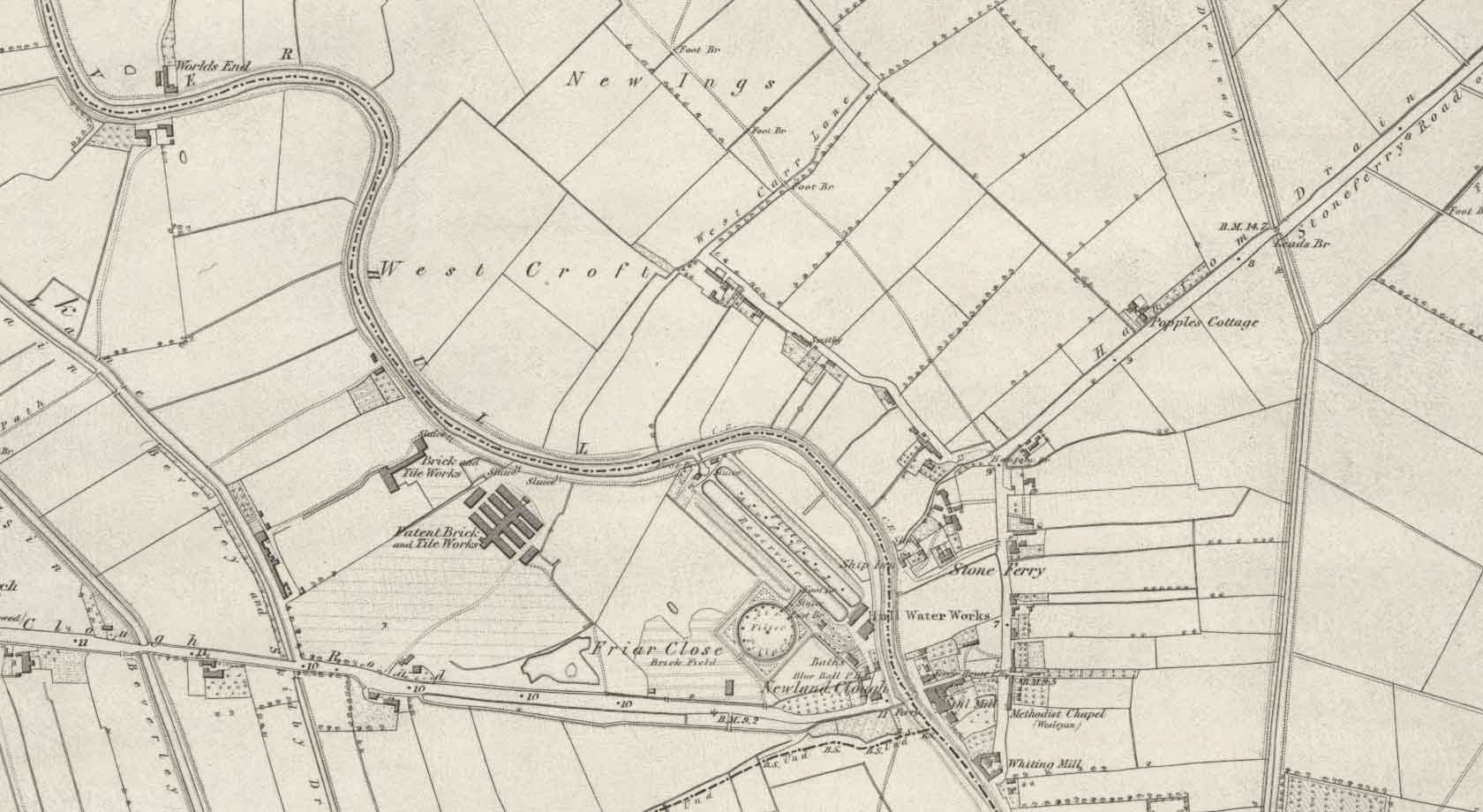
Map of Stoneferry and Sutton Fields in 1855 used with the permission of the National Library of Scotland
Rich and Lou Duffy-Howard