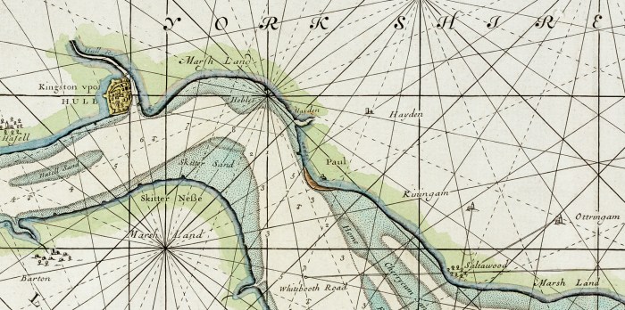
We’ve come across a number of maps and plans whilst preparing articles for Open Bridges / A River Full of Stories and more recently ‘What Makes the Humber’. The River Humber chart below was first printed in 1693 and published until 1792, by Freeman Collins in London and is ‘dedicated and presented to the Worshipful … Continue reading Maps and Plans