
Walking west on the Nev Cole Way, New Holland’s terminal still retains the railway that took ferry passengers from Hull to explore the south bank. On this journey there are so many detours that could be taken inland to investigate the wealth of history on this side of the Humber. From the motte and bailey castles at Barrow and the Iron-Age Romano-British farmsteads just further south to the magnificent remains and countryside surrounding Thornton Curtis and Abbey.
From the derelict barge just east of the shipyard the path takes you through the docks and passed the HES Humber Bulk Terminal and railway with only a slight detour to the time capsule that is Manchester Square and then open countryside.
Hull sits to the north as we continue west to Barrow and Barton on Humber also picking out it’s landmarks as we go, dominated by the seemingly ever present Hull Royal Infimary and Anlaby Road flats.
East of the Humber Bridge we reach Barton Haven with the tile works, Ropewalk and shipyard to explore.
Photographs by Richard Duffy-Howard


Gallery key:
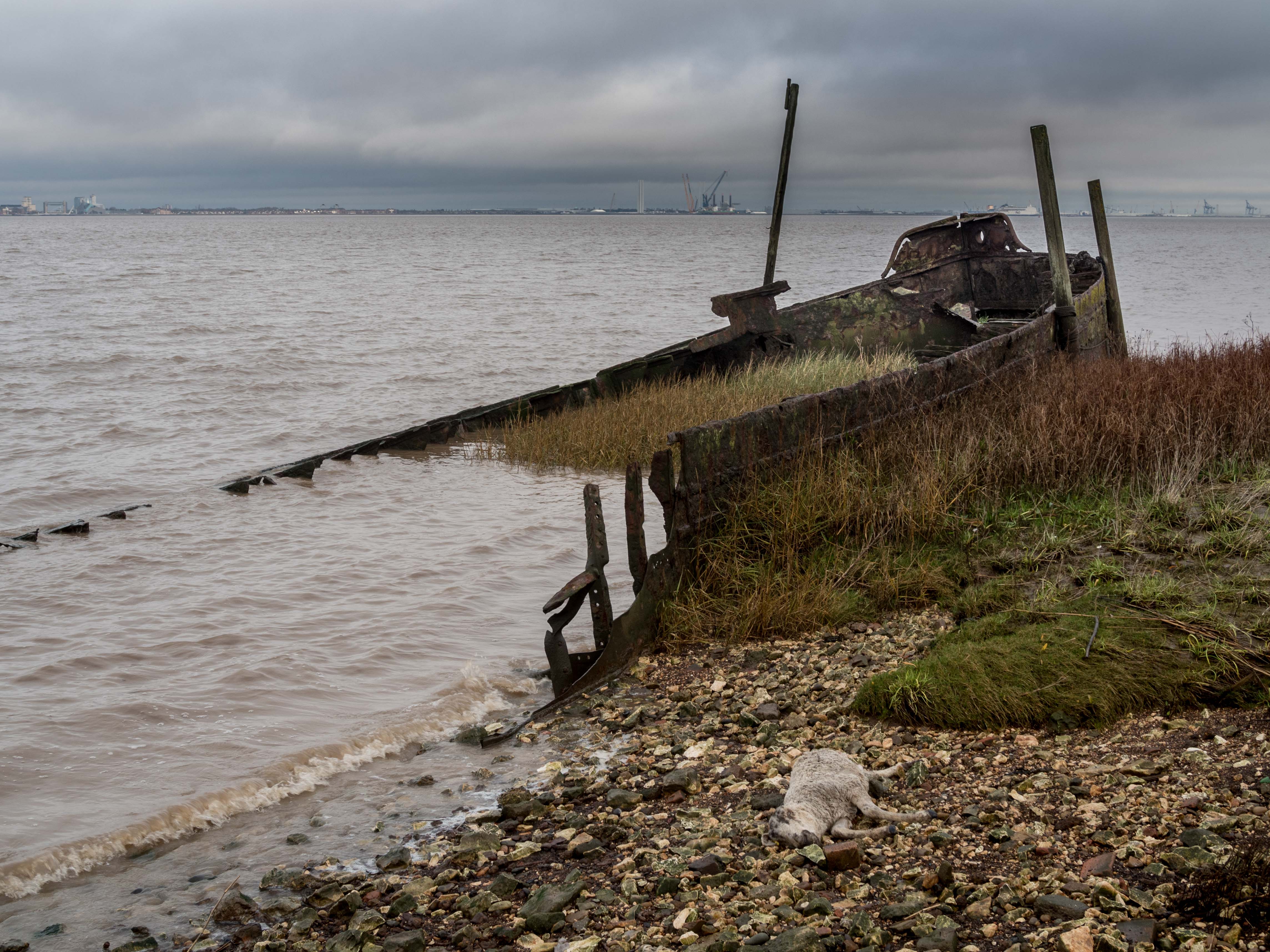
- Derelict barge and dead sheep at New Holland with Hull’s Tidal Barrier, The Deep, Siemens and the ferry terminal on the north bank
- The VOS Clipper Bridgetown, at New Holland Shipyard, the Humber Bridge
- Public footpath through the dock, New Holland
- New Holland Dock, St Andrews Quay and Hull Royal Infirmary
- The Nev Cole Way, public footpath New Holland
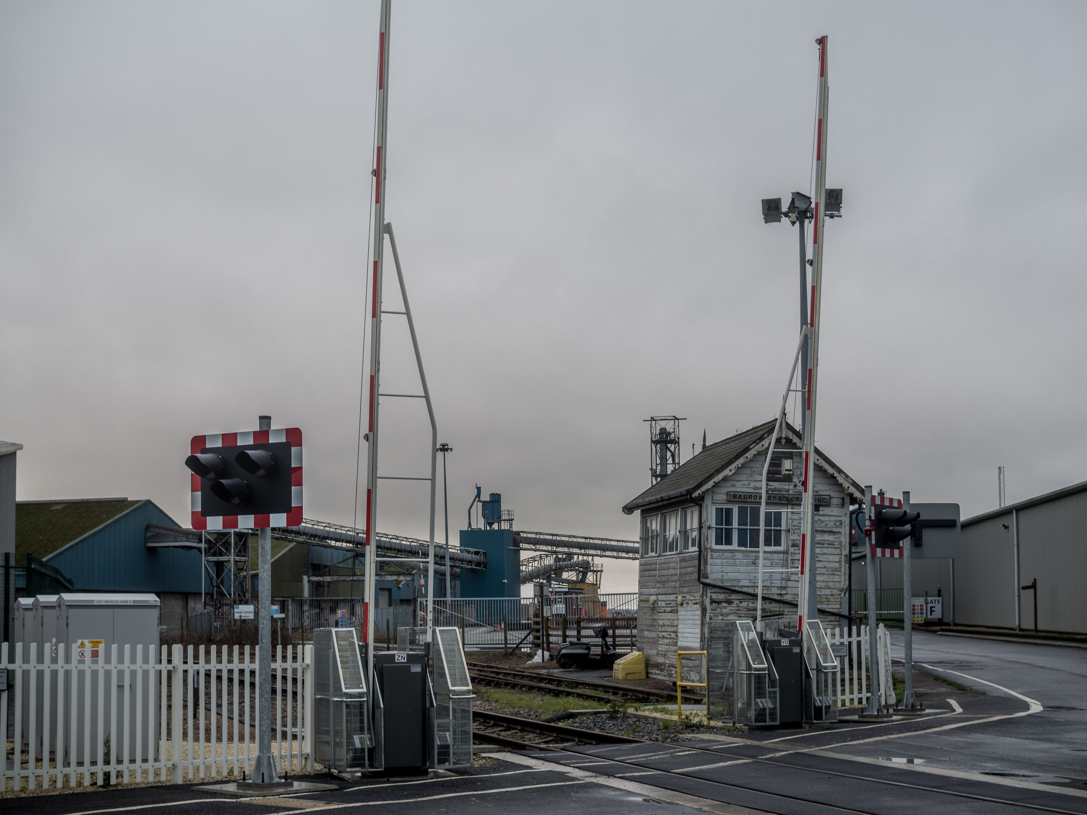
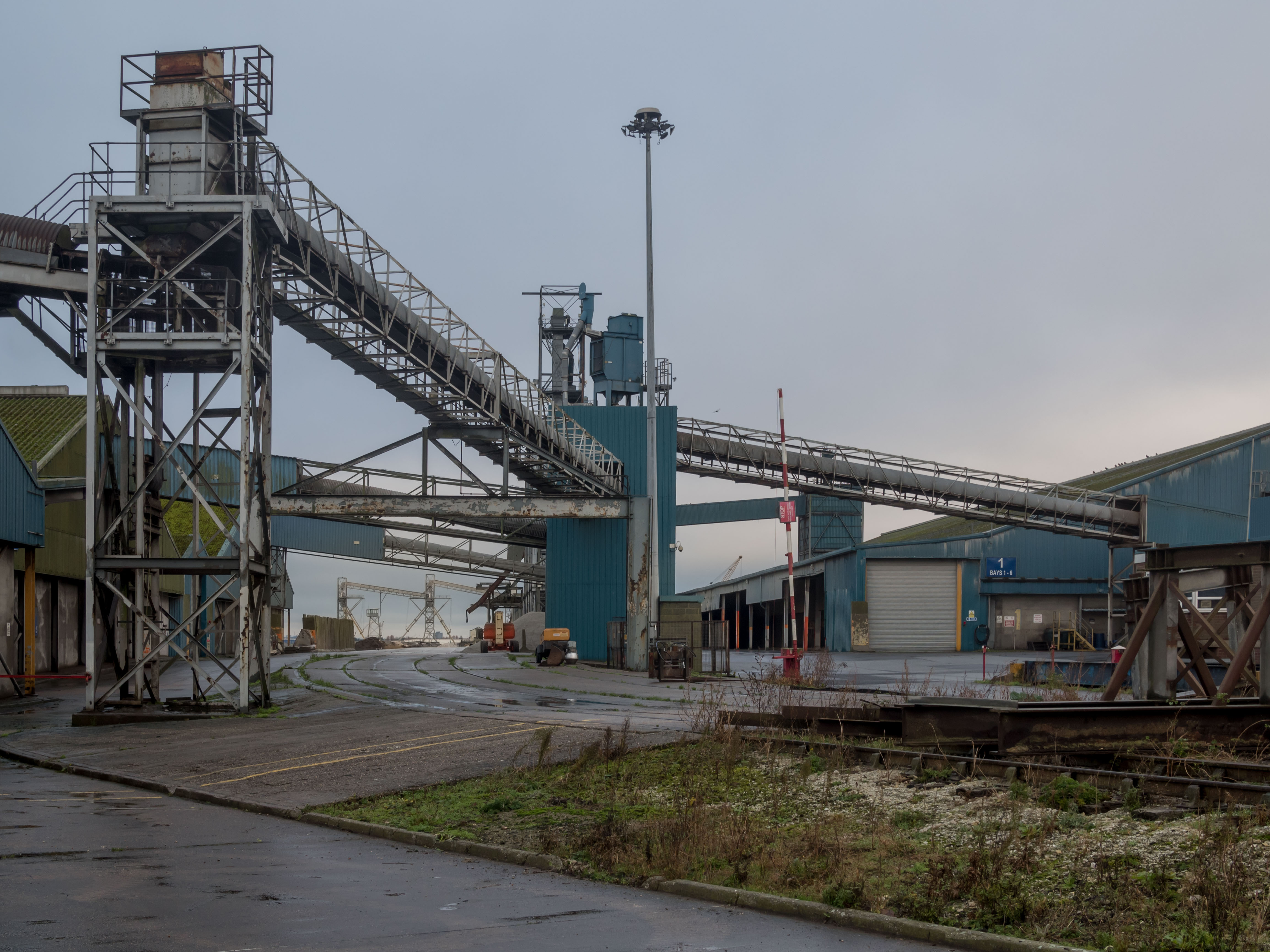
- The Nev Cole Way, HES Humber Bulk Terminal New Holland
- The Nev Cole Way, HES Humber Bulk Terminal New Holland
- The Nev Cole Way, HES Humber Bulk Terminal New Holland, St Andrews Quay and Hull Royal Infirmary
- Barrow Haven
- Barrow Haven and wood yard
- Barrow Haven, Quayside, Mooring and Loading
- Barrow Haven towards New Holland with Siemens on the north bank
- The Super Sloop the Spider T glides down the Humber between Barrow and New Holland as part of the Humber Jubilee flotilla 02.06.2022
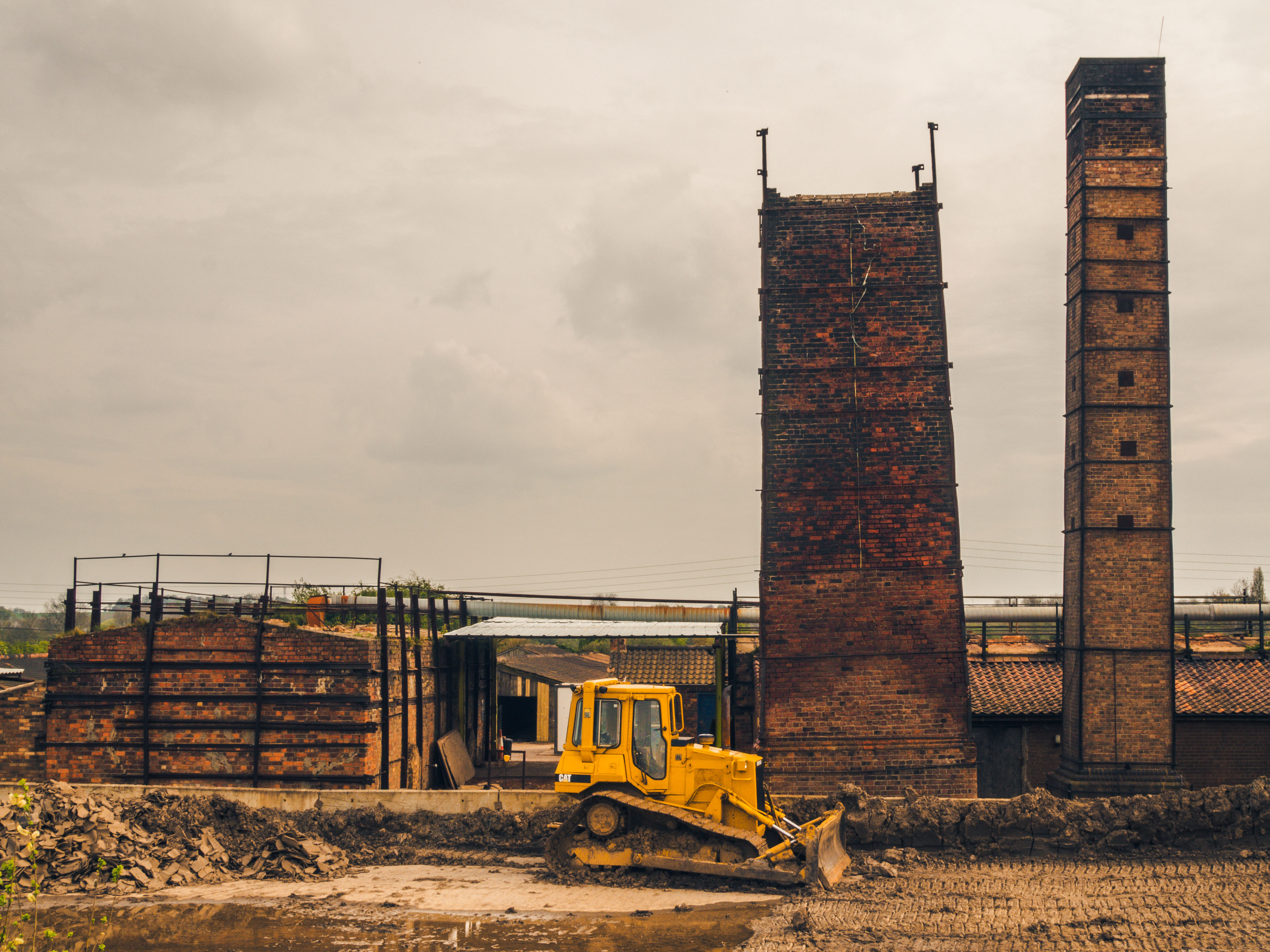
- Hoe Hill tile works east of Barton
- Barton Visitor Centre and inquisitive friend
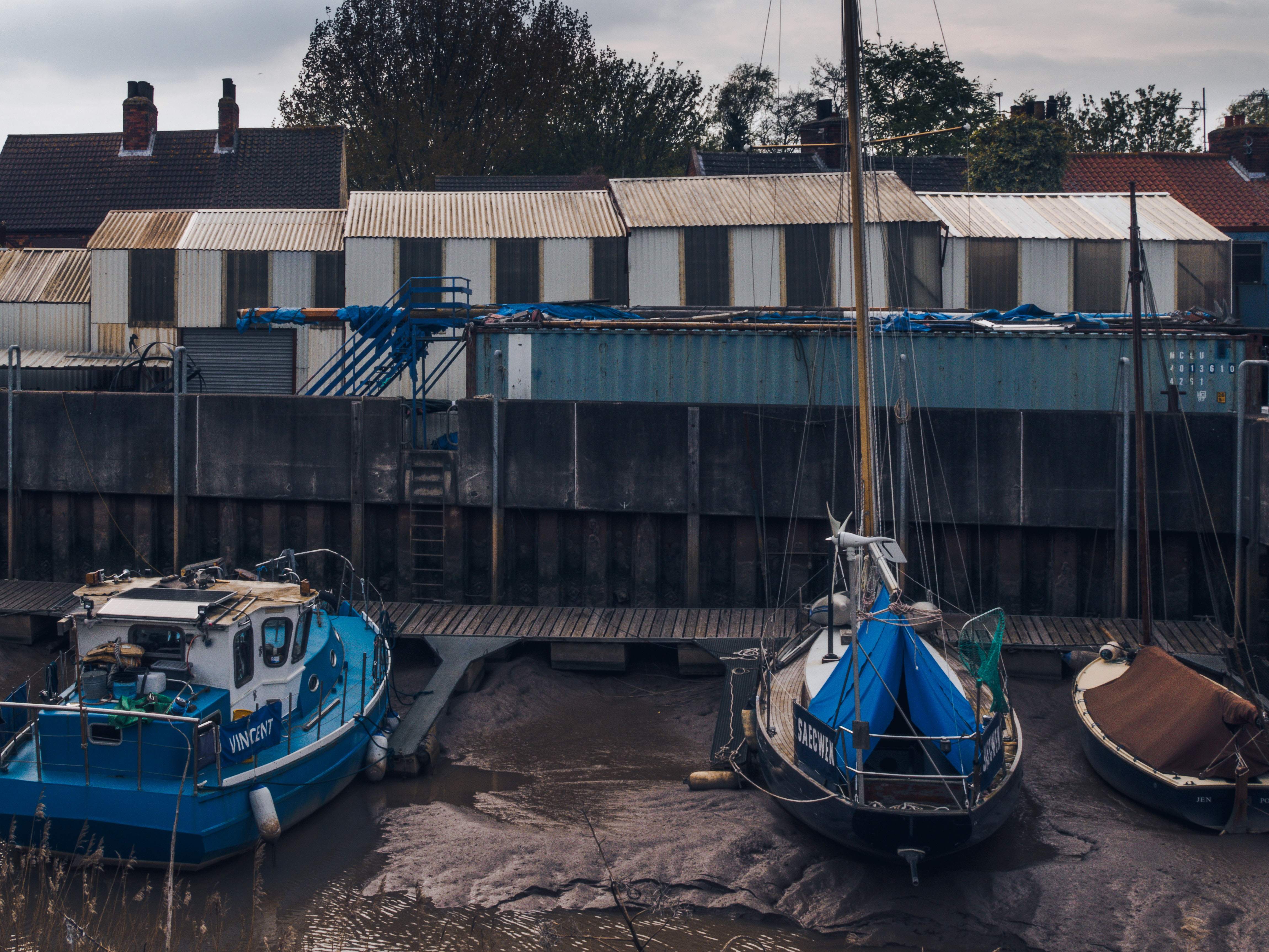
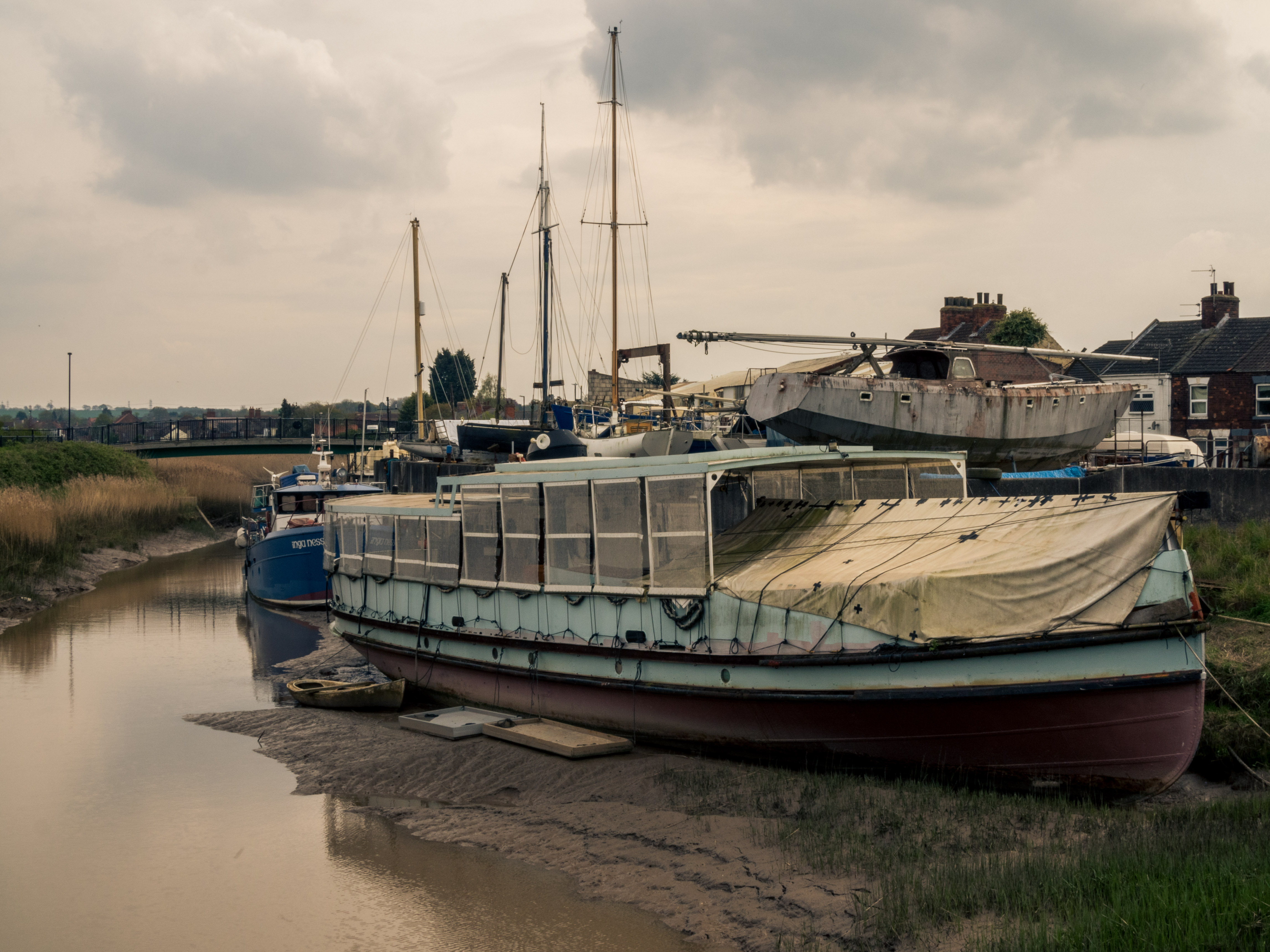
- Barton Haven and Shipyard
- Barton Haven
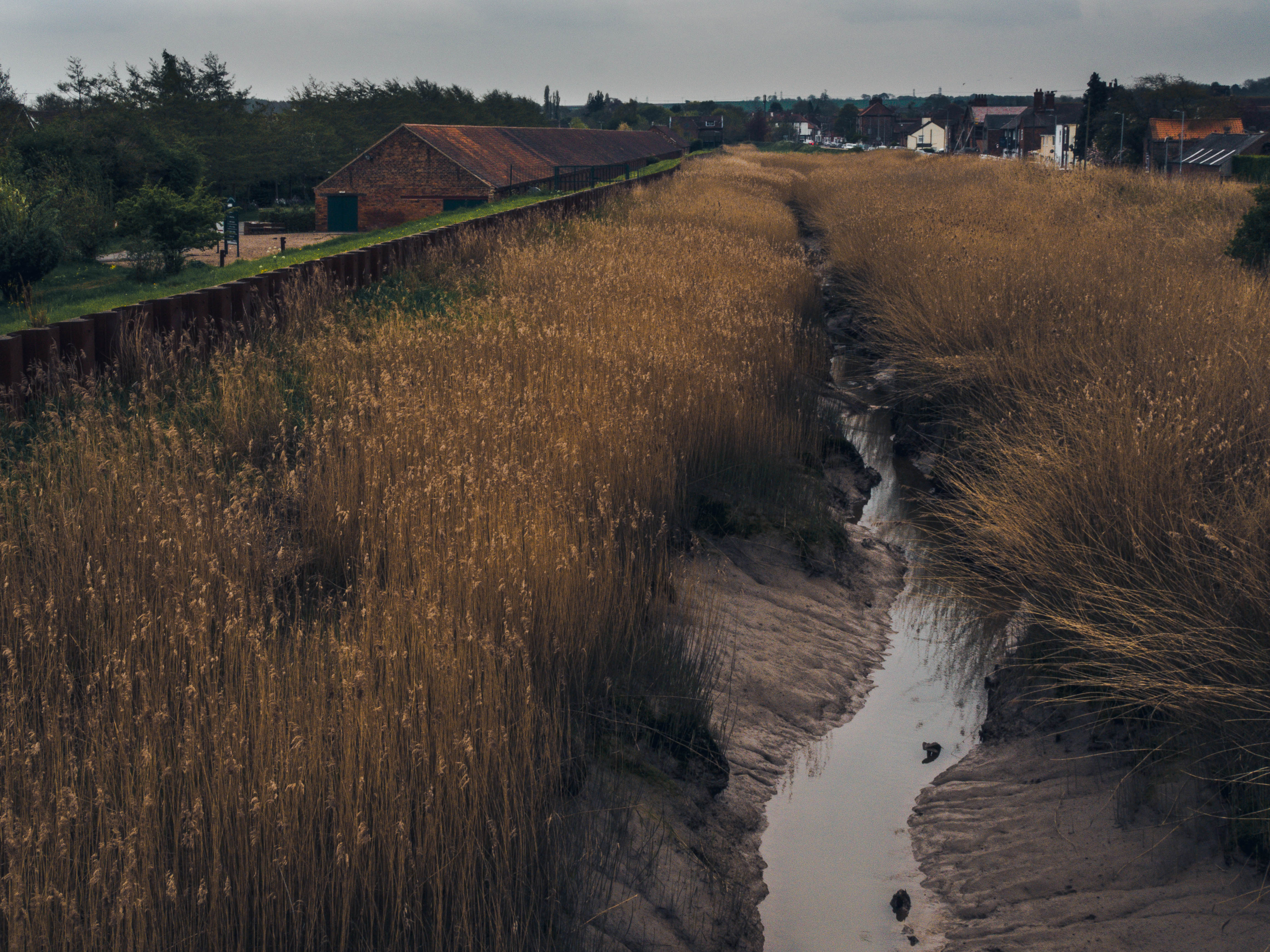
- Barton Beck and Ropewalk
- Barton, Haven and Bridge
What Made the Humber
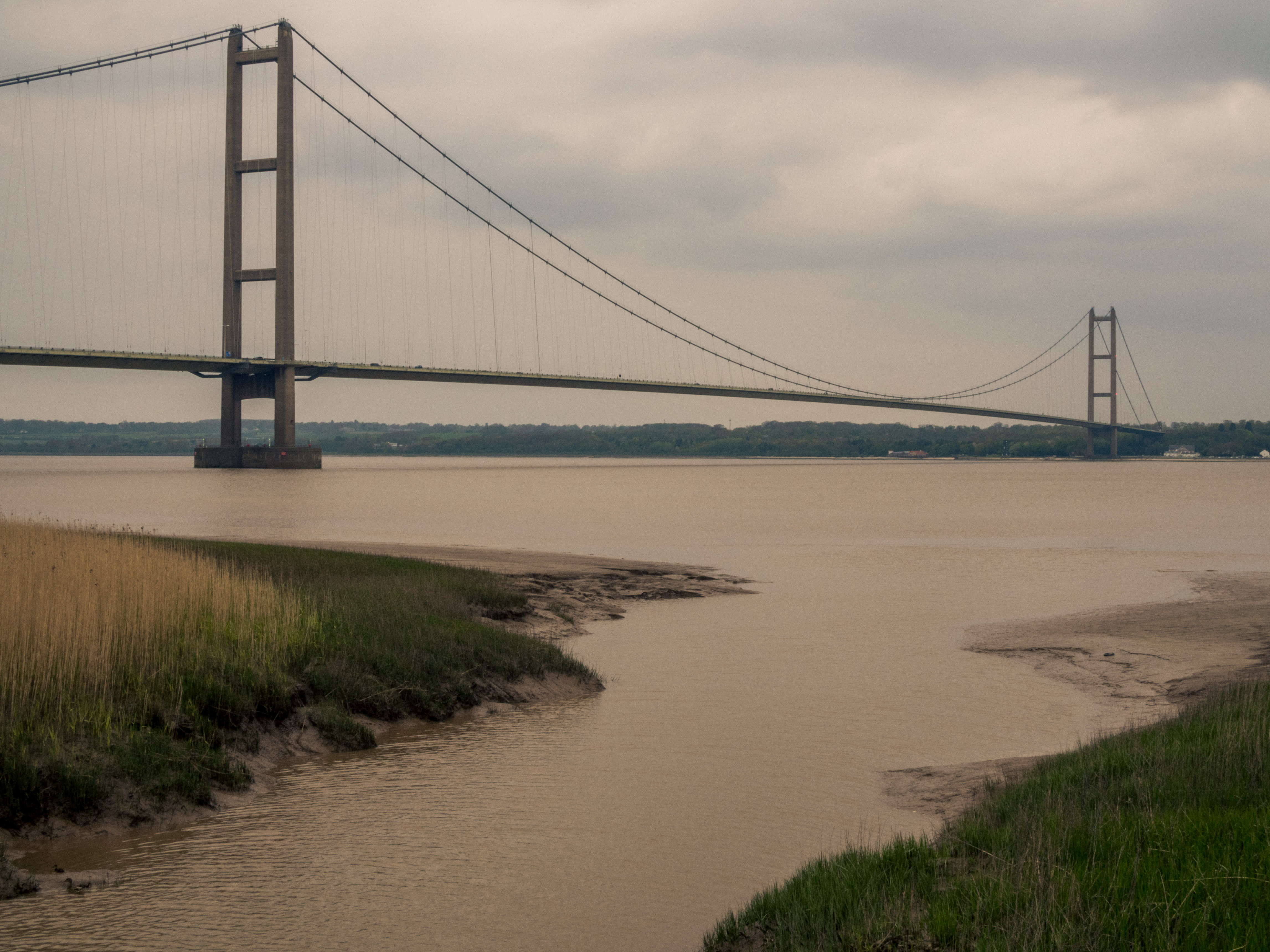
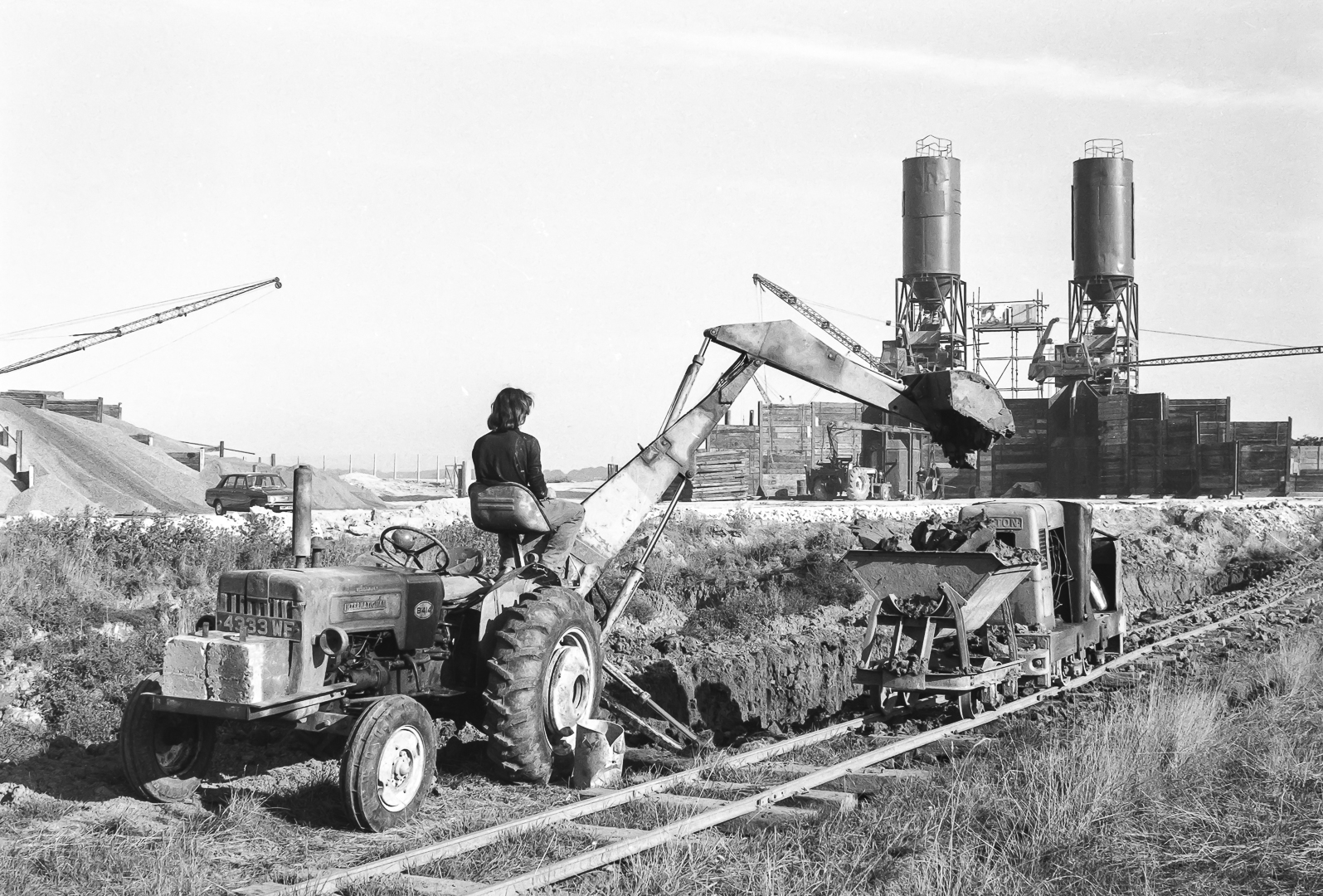
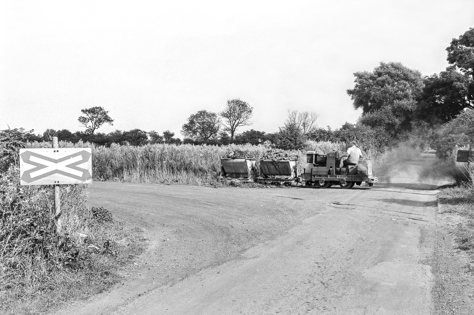
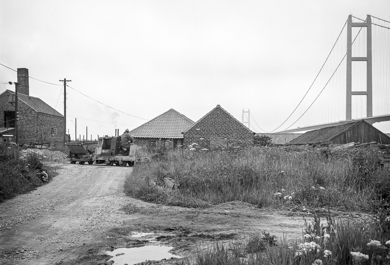
There are – and were – tile works east, under and west of the Humber Bridge between New Holland and Chowder Ness for centuries. The Far Ings nature reserve, west of Barton, was developed from the clay pits dug for 19th and 20th century tile production. The photographs in the gallery below were taken by Stuart Fountain of Nottingham between 1975 and 1985 showing the narrow gauge railway used for clay transportation to the kilns for tile production. The later photographs show the Humber Bridge in the background during construction.
Many thanks to Dave Waldren of Cutting Edge Transport Images Collection for the photographs and permission to publish these evocative images here, specifically for What Made the Humber.


Rich and Lou Duffy-Howard