
The end of our What Makes the Humber journey finishes here, at Spurn. It was going to be a blisteringly hot June summer’s day elsewhere but with a few degrees less from a small amount of cloud cover forecast for Spurn in the morning we got there at 8 am.
The last time we explored Spurn we drove down the road from KIlnsea and parked in a layby nearly halfway down the point. But not this time, the road had gone and the first stretch was to cross the high tide wash over area on the beach and head for the dunes on foot.
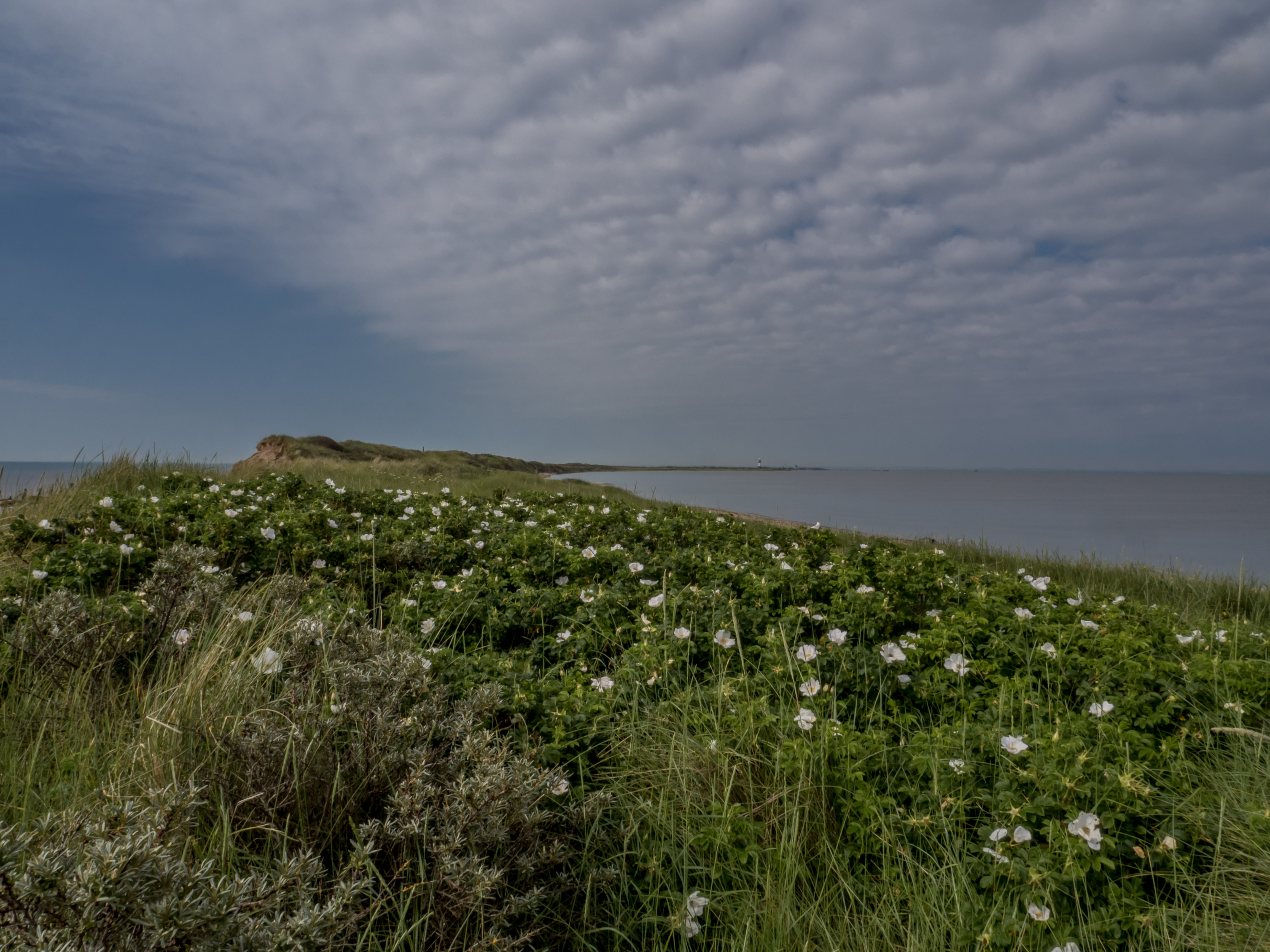
It was a glorious day and at 8 am the coast was clear as we found ourselves alone with the rabbits and the linnets and larks. The path wended its way south bordered by wild roses and orchids, sea holly, sea buckthorn and marram grass as we reached the lighthouses, RNLI stations and jetty. The same path took us back, and into the cool sea breeze as the lure of Lou’s home-made pasties spurred us on, and then up the coast road for afternoon tea and ice-cream at Skipsea.
Photographs by Richard Duffy-Howard


Gallery key:
- Looking South towards the Point
- Walking south
- Looking back north to Kilnsea
- East and the North Sea
- South with the North Sea to the left and Humber to the right
- The road we drove down the last time we came
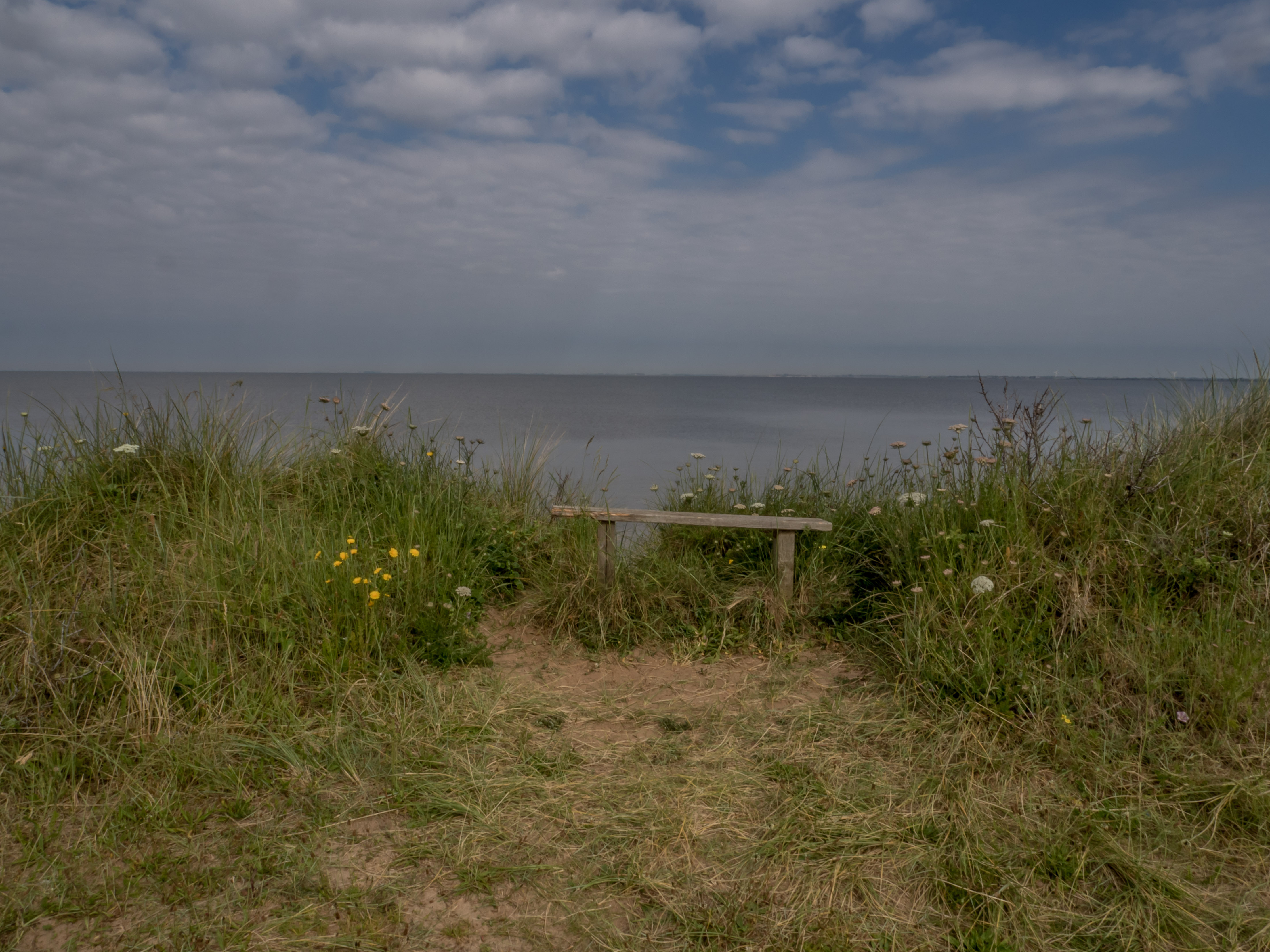
- North Sea viewpoint
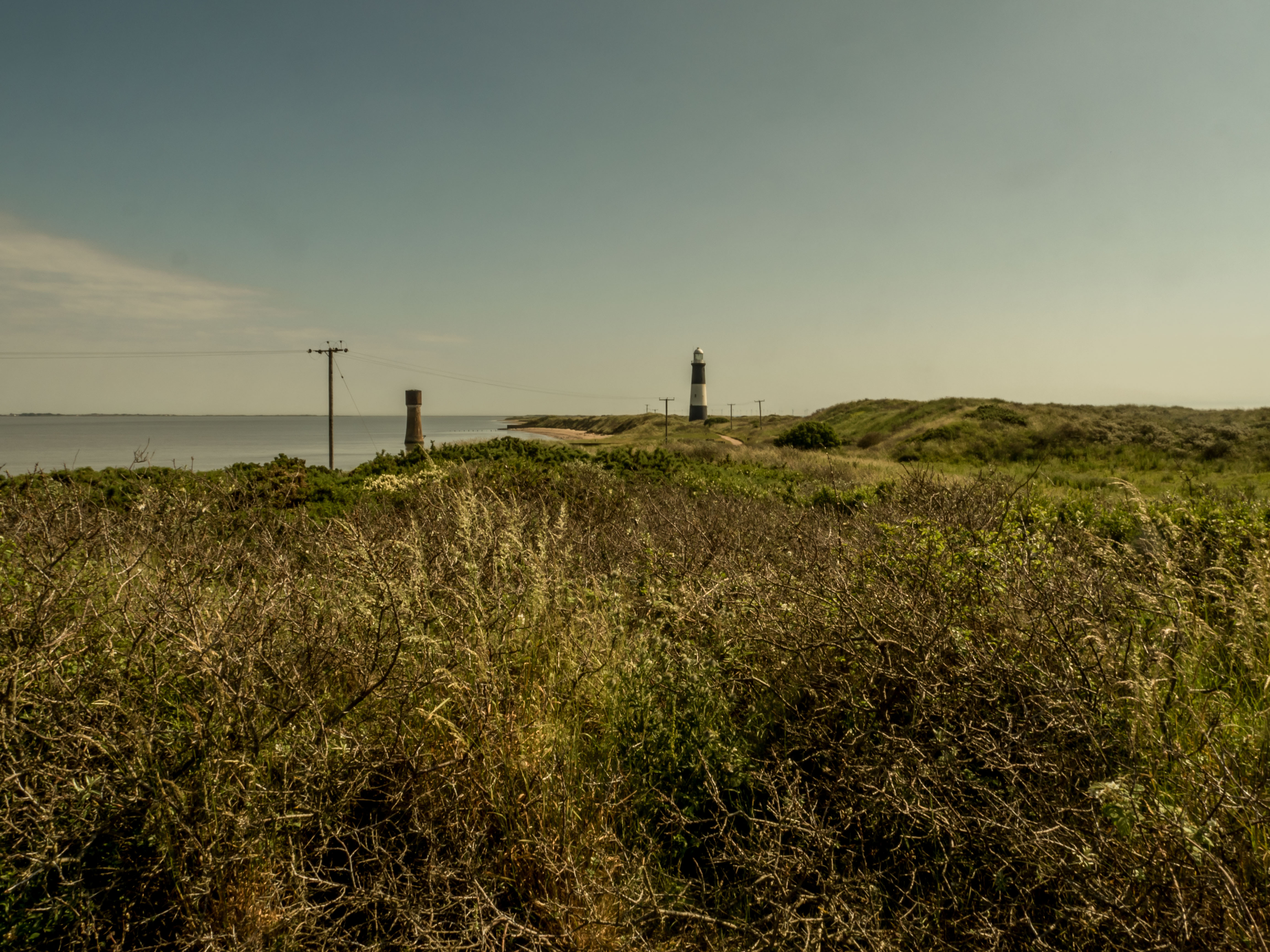
- Spurn Lighthouse 1895 – 1985
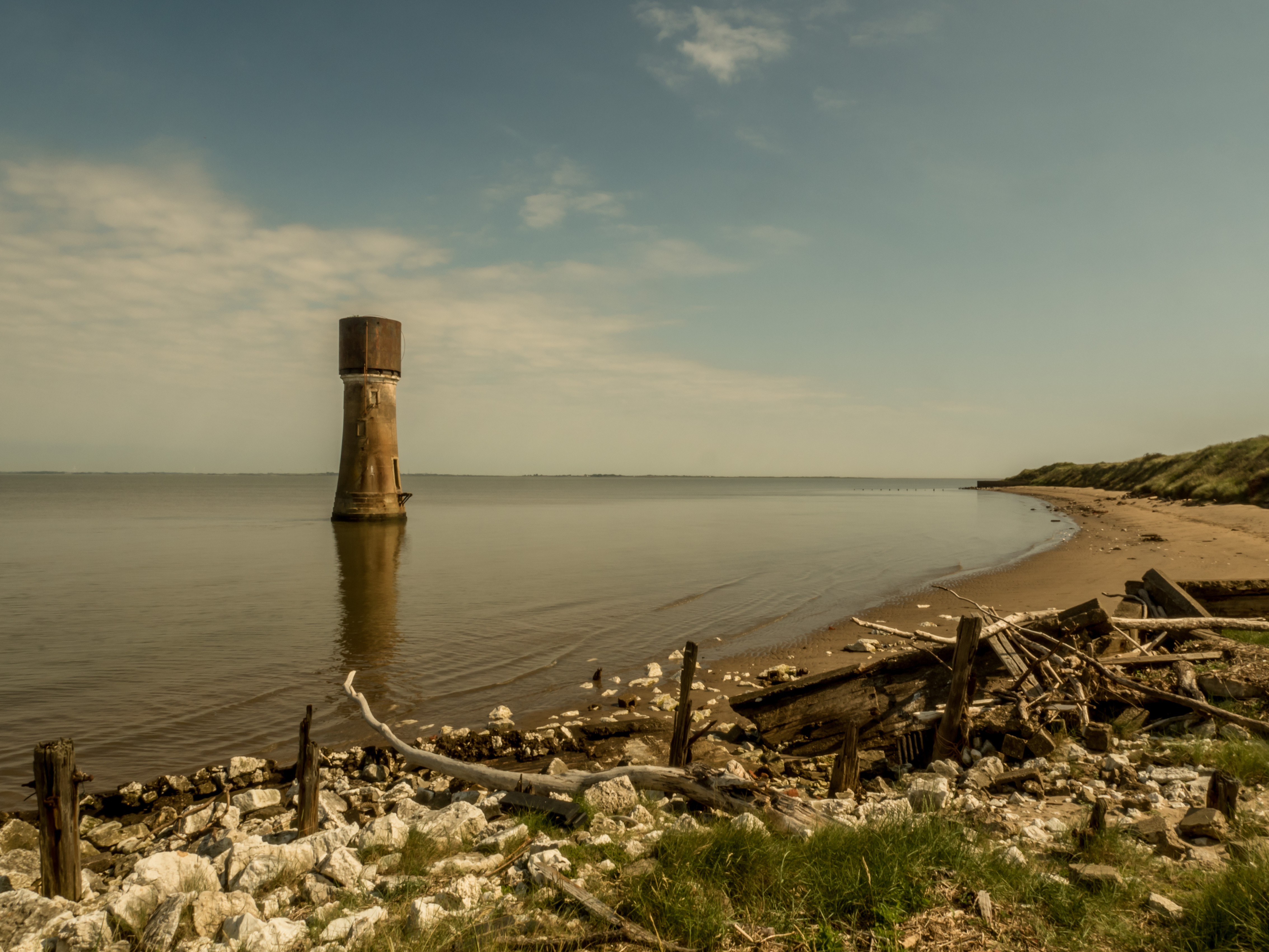
- Low Light 1852 – 1895
- Spurn Jetty
- Spurn Lighthouses looking north
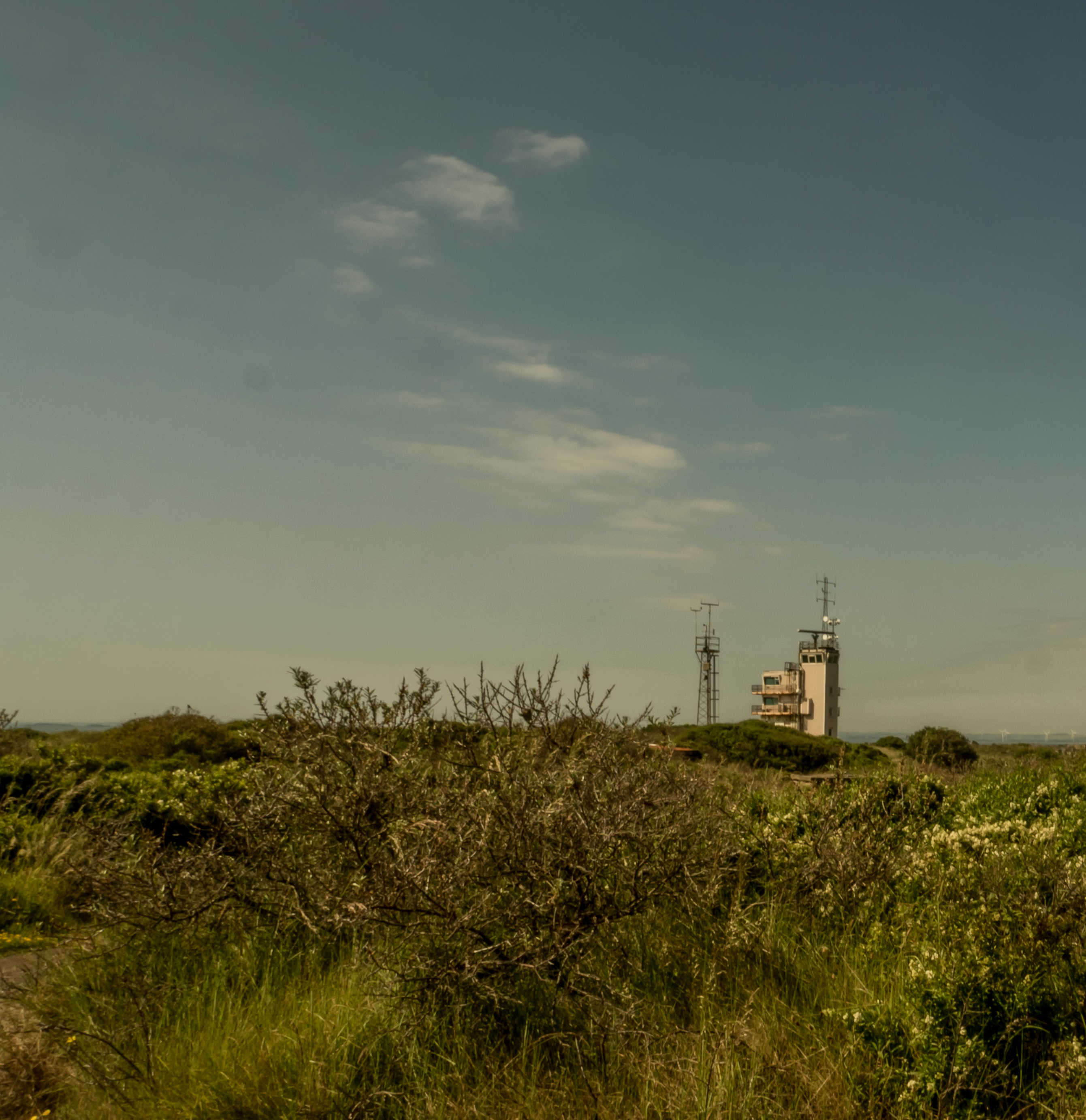
- Associated British Ports Vessel Traffic Services Tower
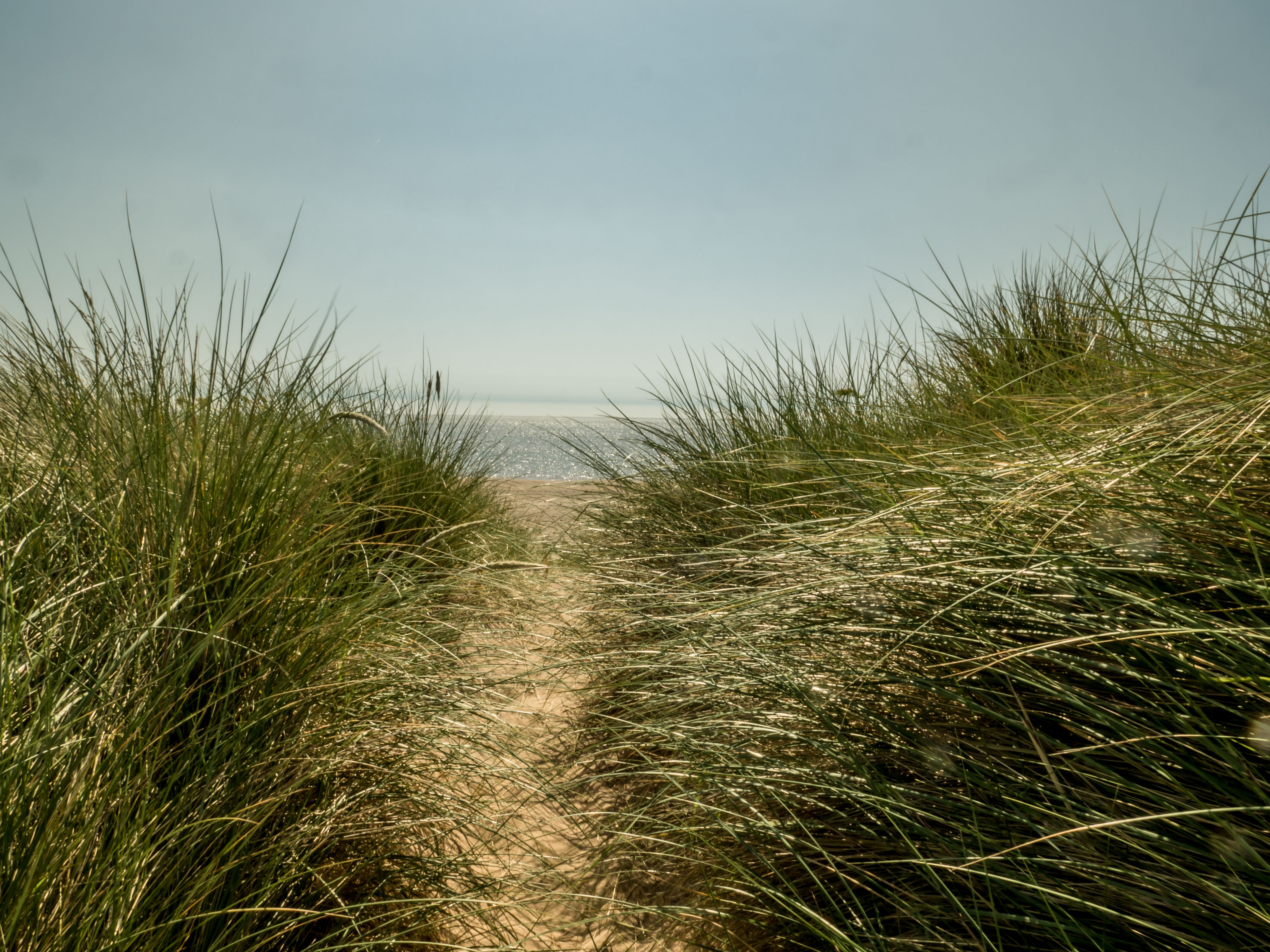
- North Sea looking east through the dunes
- Lou and Dext
What Made the Humber
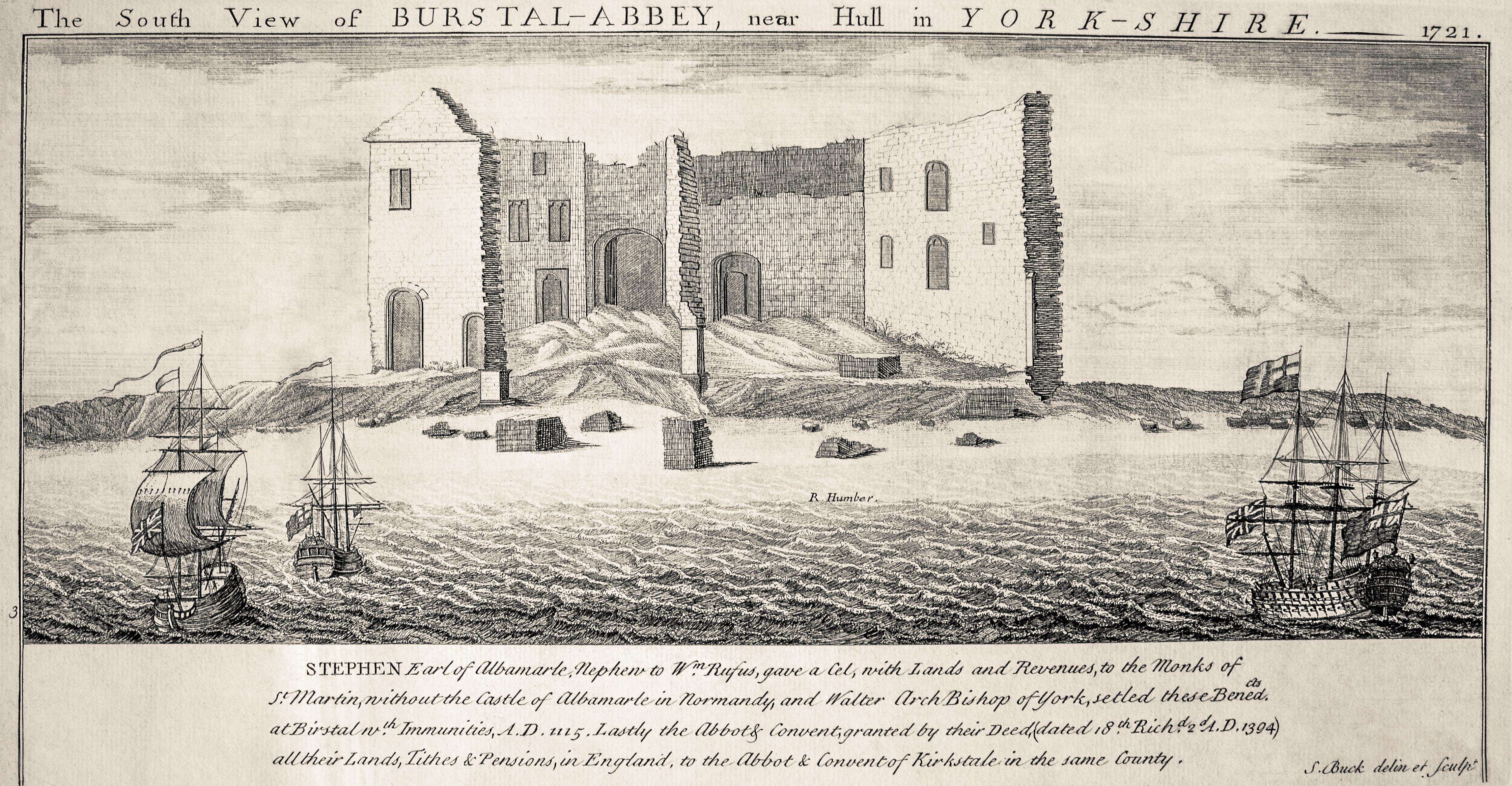
On the coast south of Skeffling, Burstall Abbey (1219 – 1536) falls into the Humber in 1721.
Rich and Lou Duffy-Howard